Area Overview for CH2 2BF
Photos of CH2 2BF
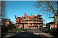
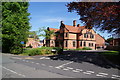
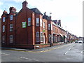
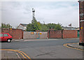
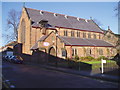
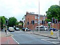
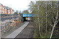
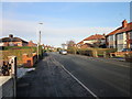
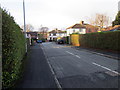
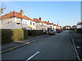
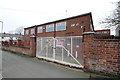
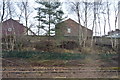
100 photos from this area
Area Information
Key information about the CH2 2BF including its size, population, and administrative classification.
- Area Type
- Postcode
- Area Size
- 5540 m²
- Population
- 1781
- Population Density
- 5778 people/km²
House Prices in CH2 2BF
20
Properties
£153,363
Average Sold Price
£62,950
Lowest Price
£255,000
Highest Price
Showing 20 properties
| Address | Type | Beds | Baths | Last Sale Price | Last Sale Date | |
|---|---|---|---|---|---|---|
| 41 Newry Park East, Chester, CH2 2BF | Semi-detached | 3 | 1 | £255,000 | Mar 2025 | |
| 7 Newry Park East, Chester, CH2 2BF | house | - | - | £240,000 | Nov 2022 | |
| 19 Newry Park East, Chester, CH2 2BF | Semi-detached | 3 | 1 | £195,000 | Oct 2019 | |
| 39 Newry Park East, Chester, CH2 2BF | house | - | - | £85,000 | May 2018 | |
| 17 Newry Park East, Chester, CH2 2BF | house | - | - | £192,500 | Jan 2018 | |
| 27 Newry Park East, Chester, CH2 2BF | Semi-detached | 2 | 1 | £185,000 | Dec 2017 | |
| 1 Newry Park East, Chester, CH2 2BF | Semi-detached | 6 | 1 | £165,000 | Mar 2017 | |
| 35 Newry Park East, Chester, CH2 2BF | house | - | - | £183,500 | Jan 2016 | |
| 31 Newry Park East, Chester, CH2 2BF | Semi-detached | 3 | 1 | £183,500 | Nov 2014 | |
| 37 Newry Park East, Chester, CH2 2BF | Terraced | 3 | 1 | £170,000 | Jul 2014 |
Page 1 of 2
Energy Efficiency in CH2 2BF
Amenities
Schools
| Rank | School | Type | Entry gender | Ages |
|---|
Explore more schools in this area
Go to Schools tabDemographics
Household Size
One person
most common
Accommodation Type
Houses
most common
Tenure
54
majority
Ethnic Group
White
most common
Religion
N/A
most common
Household Composition
N/A
most common
Age
47
median
Adults (30-64 years)
most common
Household Deprivation
N/A
with no deprivation
NS-SEC
42
in Lower managerial occupations
Explore more demographic insights in this area
Go to Demographics tabPlanning
Planning Constraints
- Flood RiskPremium
- Ramsar Wetland SitesPremium
- Area of Outstanding Natural BeautyPremium
- Protected Nature ReservePremium
- Protected WoodlandPremium