Area Overview for CH2 1TB
Photos of CH2 1TB
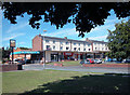
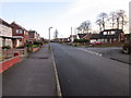
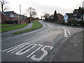
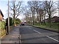
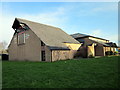
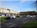
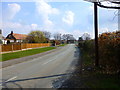
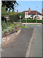
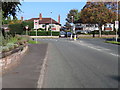
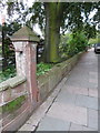
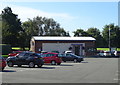
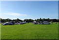
36 photos from this area
Area Information
Key information about the CH2 1TB including its size, population, and administrative classification.
- Area Type
- Postcode
- Area Size
- 1.4 hectares
- Population
- Not available
- Population Density
- Not available
House Prices in CH2 1TB
48
Properties
£119,498
Average Sold Price
£44,000
Lowest Price
£190,000
Highest Price
Showing 48 properties
| Address | Type | Beds | Baths | Last Sale Price | Last Sale Date | |
|---|---|---|---|---|---|---|
| 81 Newhall Road, Upton, Chester, CH2 1TB | Flat | - | - | £102,000 | Dec 2023 | |
| 135 Newhall Road, Upton, Chester, CH2 1TB | house | - | - | £190,000 | Nov 2023 | |
| 117 Newhall Road, Upton, Chester, CH2 1TB | house | - | - | £179,950 | Feb 2021 | |
| 133 Newhall Road, Upton, Chester, CH2 1TB | Flat | 2 | 1 | £95,000 | May 2020 | |
| 95 Newhall Road, Upton, Chester, CH2 1TB | Semi-detached | 3 | 1 | £165,000 | Jul 2018 | |
| 155 Newhall Road, Upton, Chester, CH2 1TB | Terraced | 3 | 1 | £132,000 | Jul 2017 | |
| 137 Newhall Road, Upton, Chester, CH2 1TB | house | - | - | £160,000 | Dec 2016 | |
| 115 Newhall Road, Upton, Chester, CH2 1TB | Flat | 2 | 1 | £92,000 | Jul 2015 | |
| 93 Newhall Road, Upton, Chester, CH2 1TB | Terraced | 3 | 1 | £136,000 | Jul 2015 | |
| 85 Newhall Road, Upton, Chester, CH2 1TB | Flat | - | - | £80,000 | Jul 2015 |
Page 1 of 5
Energy Efficiency in CH2 1TB
Amenities
Schools
| Rank | School | Type | Entry gender | Ages |
|---|
Explore more schools in this area
Go to Schools tabDemographics
Household Size
Two person
most common
Accommodation Type
Houses
most common
Tenure
80
majority
Ethnic Group
White
most common
Religion
N/A
most common
Household Composition
N/A
most common
Age
47
median
Adults (30-64 years)
most common
Household Deprivation
N/A
with no deprivation
NS-SEC
42
in Lower managerial occupations
Explore more demographic insights in this area
Go to Demographics tabPlanning
Planning Constraints
- Flood RiskPremium
- Ramsar Wetland SitesPremium
- Area of Outstanding Natural BeautyPremium
- Protected Nature ReservePremium
- Protected WoodlandPremium