Area Overview for CH2 1AB
Photos of CH2 1AB
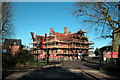
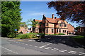
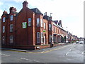
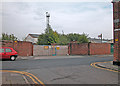
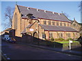
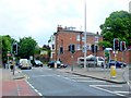
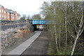
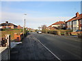
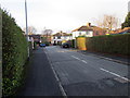
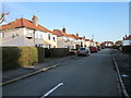
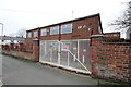
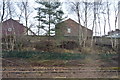
100 photos from this area
Area Information
Key information about the CH2 1AB including its size, population, and administrative classification.
- Area Type
- Postcode
- Area Size
- 1.1 hectares
- Population
- 1523
- Population Density
- 7375 people/km²
House Prices in CH2 1AB
24
Properties
£383,929
Average Sold Price
£162,000
Lowest Price
£810,000
Highest Price
Showing 24 properties
| Address | Type | Beds | Baths | Last Sale Price | Last Sale Date | |
|---|---|---|---|---|---|---|
| 49 Liverpool Road, Chester, CH2 1AB | Semi-detached | 3 | 2 | £370,000 | Feb 2025 | |
| 31 Liverpool Road, Chester, CH2 1AB | Semi-detached | 4 | 2 | £810,000 | Jul 2022 | |
| 47B Liverpool Road, Chester, CH2 1AB | Flat | 2 | 1 | £168,000 | Jan 2022 | |
| 47A Liverpool Road, Chester, CH2 1AB | Flat | - | - | £162,000 | Feb 2017 | |
| 39 Liverpool Road, Chester, CH2 1AB | Semi-detached | 4 | 4 | £469,000 | Mar 2015 | |
| 41 Liverpool Road, Chester, CH2 1AB | Terraced | - | - | £385,000 | Feb 2008 | |
| 33 Liverpool Road, Chester, CH2 1AB | Semi-detached | - | - | £323,500 | Nov 2001 | |
| 47 Liverpool Road, Chester, CH2 1AB | Semi-detached | - | - | - | - | |
| 1, Rockmount Court, 23C Liverpool Road, Chester, CH2 1AB | Flat | - | - | - | - | |
| 2, Rockmount Court, 23C Liverpool Road, Chester, CH2 1AB | Flat | - | - | - | - |
Page 1 of 3
Energy Efficiency in CH2 1AB
Amenities
Schools
| Rank | School | Type | Entry gender | Ages |
|---|
Explore more schools in this area
Go to Schools tabDemographics
Household Size
Family (3-5 people)
most common
Accommodation Type
Houses
most common
Tenure
40
majority
Ethnic Group
White
most common
Religion
N/A
most common
Household Composition
N/A
most common
Age
22
median
Young Adults (15-29 years)
most common
Household Deprivation
N/A
with no deprivation
NS-SEC
18
in Lower managerial occupations
Explore more demographic insights in this area
Go to Demographics tabPlanning
Planning Constraints
- Flood RiskPremium
- Ramsar Wetland SitesPremium
- Area of Outstanding Natural BeautyPremium
- Protected Nature ReservePremium
- Protected WoodlandPremium