Area Overview for CH1 6NE
Photos of CH1 6NE
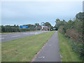
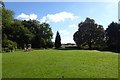
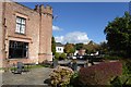
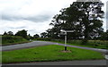
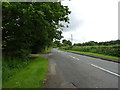
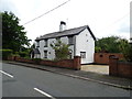
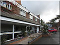
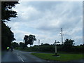
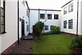
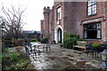
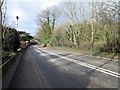
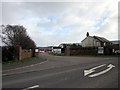
23 photos from this area
Area Information
Key information about the CH1 6NE including its size, population, and administrative classification.
- Area Type
- Postcode
- Area Size
- 87.2 hectares
- Population
- 2771
- Population Density
- 114 people/km²
House Prices in CH1 6NE
25
Properties
£393,750
Average Sold Price
£245,000
Lowest Price
£800,000
Highest Price
Showing 25 properties
| Address | Type | Beds | Baths | Last Sale Price | Last Sale Date | |
|---|---|---|---|---|---|---|
| Stone Cottage, Parkgate Road, Mollington, Chester, CH1 6NE | Semi-detached | 3 | 2 | £280,000 | Nov 2020 | |
| Overwood House, Parkgate Road, Mollington, Chester, CH1 6NE | house | 5 | 3 | £800,000 | Jun 2018 | |
| Glen Trammon, Parkgate Road, Mollington, Chester, CH1 6NE | Semi-detached | - | - | £245,000 | Aug 2004 | |
| Well Cottage, Parkgate Road, Mollington, Chester, CH1 6NE | Flat | - | - | £250,000 | Aug 2000 | |
| The Mount, Parkgate Road, Mollington, Chester, CH1 6NE | Semi-detached | 3 | 2 | - | - | |
| 2, Crabwall Lodge, Parkgate Road, Mollington, Chester, CH1 6NE | Flat | 2 | 2 | - | - | |
| The Paddock, Parkgate Road, Mollington, Chester, CH1 6NE | Detached | 6 | 2 | - | - | |
| Rose Cottage South, Parkgate Road, Mollington, Chester, CH1 6NE | Cottage | 5 | - | - | - | |
| Honey Pot Cottage, Parkgate Road, Mollington, Chester, CH1 6NE | Semi-detached | 2 | - | - | - | |
| Flat 2, Crabwall Hall Residential Home, Parkgate Road, Mollington, Chester, CH1 6NE | Flat | - | - | - | - |
Page 1 of 3
Energy Efficiency in CH1 6NE
Amenities
Schools
| Rank | School | Type | Entry gender | Ages |
|---|
Explore more schools in this area
Go to Schools tabDemographics
Household Size
Two person
most common
Accommodation Type
Houses
most common
Tenure
76
majority
Ethnic Group
White
most common
Religion
N/A
most common
Household Composition
N/A
most common
Age
47
median
Adults (30-64 years)
most common
Household Deprivation
N/A
with no deprivation
NS-SEC
40
in Lower managerial occupations
Explore more demographic insights in this area
Go to Demographics tabPlanning
Planning Constraints
- Flood RiskPremium
- Ramsar Wetland SitesPremium
- Area of Outstanding Natural BeautyPremium
- Protected Nature ReservePremium
- Protected WoodlandPremium