Area Overview for CH1 6DZ
Photos of CH1 6DZ
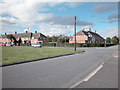
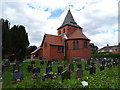
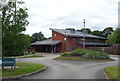
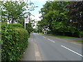
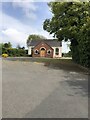
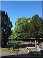
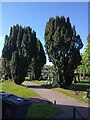
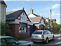
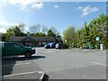
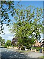
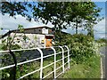
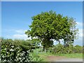
25 photos from this area
Area Information
Key information about the CH1 6DZ including its size, population, and administrative classification.
- Area Type
- Postcode
- Area Size
- 2.6 hectares
- Population
- 2112
- Population Density
- 129 people/km²
House Prices in CH1 6DZ
43
Properties
£144,563
Average Sold Price
£24,190
Lowest Price
£325,000
Highest Price
Showing 43 properties
| Address | Type | Beds | Baths | Last Sale Price | Last Sale Date | |
|---|---|---|---|---|---|---|
| 13 Parkway, Saughall, Chester, CH1 6DZ | house | - | - | £325,000 | Oct 2023 | |
| 40 Parkway, Saughall, Chester, CH1 6DZ | Terraced | 2 | 1 | £179,000 | Mar 2021 | |
| 11 Parkway, Saughall, Chester, CH1 6DZ | Semi-detached | 3 | 1 | £250,000 | Feb 2021 | |
| 17 Parkway, Saughall, Chester, CH1 6DZ | house | - | - | £230,000 | Sep 2020 | |
| 30 Parkway, Saughall, Chester, CH1 6DZ | house | - | - | £188,000 | Jun 2018 | |
| 42 Parkway, Saughall, Chester, CH1 6DZ | Terraced | 2 | 1 | £148,000 | Oct 2010 | |
| 62 Parkway, Saughall, Chester, CH1 6DZ | Flat | - | - | £94,000 | Mar 2004 | |
| 2 Parkway, Saughall, Chester, CH1 6DZ | Terraced | - | - | £39,000 | Jun 2003 | |
| 48 Parkway, Saughall, Chester, CH1 6DZ | Terraced | - | - | £60,000 | Nov 2002 | |
| 8 Parkway, Saughall, Chester, CH1 6DZ | Terraced | - | - | £24,190 | Mar 1997 |
Page 1 of 5
Energy Efficiency in CH1 6DZ
Amenities
Schools
| Rank | School | Type | Entry gender | Ages |
|---|
Explore more schools in this area
Go to Schools tabDemographics
Household Size
Family (3-5 people)
most common
Accommodation Type
Houses
most common
Tenure
70
majority
Ethnic Group
White
most common
Religion
N/A
most common
Household Composition
N/A
most common
Age
47
median
Adults (30-64 years)
most common
Household Deprivation
N/A
with no deprivation
NS-SEC
37
in Lower managerial occupations
Explore more demographic insights in this area
Go to Demographics tabPlanning
Planning Constraints
- Flood RiskPremium
- Ramsar Wetland SitesPremium
- Area of Outstanding Natural BeautyPremium
- Protected Nature ReservePremium
- Protected WoodlandPremium