Area Overview for CH1 5AX
Photos of CH1 5AX
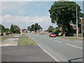
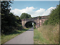
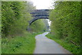
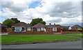
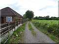
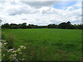
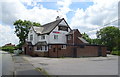
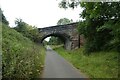
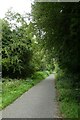
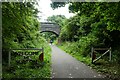
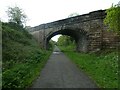
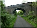
29 photos from this area
Area Information
Key information about the CH1 5AX including its size, population, and administrative classification.
- Area Type
- Postcode
- Area Size
- 1.1 hectares
- Population
- 1414
- Population Density
- 4538 people/km²
House Prices in CH1 5AX
22
Properties
£130,639
Average Sold Price
£48,000
Lowest Price
£245,000
Highest Price
Showing 22 properties
| Address | Type | Beds | Baths | Last Sale Price | Last Sale Date | |
|---|---|---|---|---|---|---|
| 55 Highfield Road, Chester, CH1 5AX | Semi-detached | 3 | 2 | £245,000 | Nov 2024 | |
| 41 Highfield Road, Chester, CH1 5AX | Semi-detached | 3 | 1 | £159,000 | Mar 2019 | |
| Alans Way, 63 Highfield Road, Chester, CH1 5AX | Semi-detached | - | - | £165,000 | Jan 2019 | |
| 45 Highfield Road, Chester, CH1 5AX | Semi-detached | 3 | - | £160,000 | Nov 2018 | |
| 49 Highfield Road, Chester, CH1 5AX | Semi-detached | 3 | 1 | £172,000 | Jul 2017 | |
| 59 Highfield Road, Chester, CH1 5AX | Semi-detached | 4 | 2 | £147,000 | Oct 2015 | |
| 65A Highfield Road, Chester, CH1 5AX | Bungalow | - | - | £120,500 | Mar 2012 | |
| 65 Highfield Road, Chester, CH1 5AX | house | - | - | £145,000 | Jul 2011 | |
| 61 Highfield Road, Chester, CH1 5AX | Semi-detached | - | - | £170,000 | Oct 2007 | |
| 51 Highfield Road, Chester, CH1 5AX | Semi-detached | - | - | £71,950 | May 2001 |
Page 1 of 3
Energy Efficiency in CH1 5AX
Amenities
Schools
| Rank | School | Type | Entry gender | Ages |
|---|
Explore more schools in this area
Go to Schools tabDemographics
Household Size
Two person
most common
Accommodation Type
Houses
most common
Tenure
75
majority
Ethnic Group
White
most common
Religion
N/A
most common
Household Composition
N/A
most common
Age
47
median
Adults (30-64 years)
most common
Household Deprivation
N/A
with no deprivation
NS-SEC
25
in Lower managerial occupations
Explore more demographic insights in this area
Go to Demographics tabPlanning
Planning Constraints
- Flood RiskPremium
- Ramsar Wetland SitesPremium
- Area of Outstanding Natural BeautyPremium
- Protected Nature ReservePremium
- Protected WoodlandPremium