Area Overview for CH1 4AS
Photos of CH1 4AS
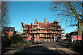
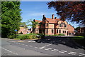
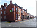
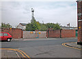
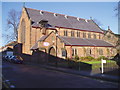
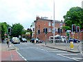
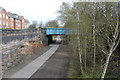
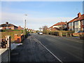
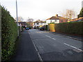
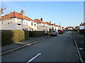
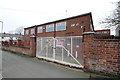
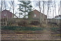
100 photos from this area
Area Information
Key information about the CH1 4AS including its size, population, and administrative classification.
- Area Type
- Postcode
- Area Size
- 9483 m²
- Population
- 1523
- Population Density
- 7375 people/km²
House Prices in CH1 4AS
21
Properties
£207,246
Average Sold Price
£39,000
Lowest Price
£310,000
Highest Price
Showing 21 properties
| Address | Type | Beds | Baths | Last Sale Price | Last Sale Date | |
|---|---|---|---|---|---|---|
| 18 Moss Bank, Chester, CH1 4AS | house | 6 | 2 | £195,000 | Sep 2025 | |
| 12 Moss Bank, Chester, CH1 4AS | Terraced | 3 | 2 | £281,000 | Feb 2025 | |
| 22 Moss Bank, Chester, CH1 4AS | house | - | - | £250,000 | Jul 2023 | |
| 16 Moss Bank, Chester, CH1 4AS | Semi-detached | 3 | - | £240,000 | May 2021 | |
| 14 Moss Bank, Chester, CH1 4AS | house | 6 | 3 | £215,000 | Aug 2019 | |
| 20 Moss Bank, Chester, CH1 4AS | house | - | - | £270,000 | Oct 2015 | |
| Ayrton House, 1 Moss Bank, Chester, CH1 4AS | Terraced | 4 | 1 | £205,000 | Jul 2006 | |
| 11 Moss Bank, Chester, CH1 4AS | Terraced | - | - | £150,000 | Dec 2004 | |
| 6 Moss Bank, Chester, CH1 4AS | Terraced | - | - | £192,000 | Aug 2004 | |
| 24 Moss Bank, Chester, CH1 4AS | Terraced | - | - | £310,000 | Oct 2003 |
Page 1 of 3
Energy Efficiency in CH1 4AS
Amenities
Schools
| Rank | School | Type | Entry gender | Ages |
|---|
Explore more schools in this area
Go to Schools tabDemographics
Household Size
Family (3-5 people)
most common
Accommodation Type
Houses
most common
Tenure
40
majority
Ethnic Group
White
most common
Religion
N/A
most common
Household Composition
N/A
most common
Age
22
median
Young Adults (15-29 years)
most common
Household Deprivation
N/A
with no deprivation
NS-SEC
18
in Lower managerial occupations
Explore more demographic insights in this area
Go to Demographics tabPlanning
Planning Constraints
- Flood RiskPremium
- Ramsar Wetland SitesPremium
- Area of Outstanding Natural BeautyPremium
- Protected Nature ReservePremium
- Protected WoodlandPremium