Area Overview for CH1 4AE
Photos of CH1 4AE
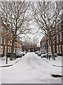

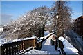

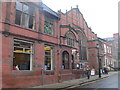
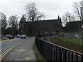
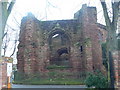
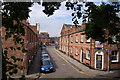
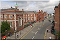
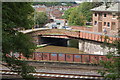
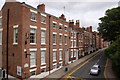
100 photos from this area
Area Information
Key information about the CH1 4AE including its size, population, and administrative classification.
- Area Type
- Postcode
- Area Size
- 1.2 hectares
- Population
- Not available
- Population Density
- Not available
House Prices in CH1 4AE
55
Properties
£203,498
Average Sold Price
£58,000
Lowest Price
£320,000
Highest Price
Showing 55 properties
| Address | Type | Beds | Baths | Last Sale Price | Last Sale Date | |
|---|---|---|---|---|---|---|
| 31 Lorne Street, Chester, CH1 4AE | Terraced | 4 | - | £183,000 | Nov 2024 | |
| 9 Lorne Street, Chester, CH1 4AE | house | - | - | £260,000 | Sep 2024 | |
| 29 Lorne Street, Chester, CH1 4AE | house | - | - | £320,000 | Apr 2024 | |
| 25 Lorne Street, Chester, CH1 4AE | Terraced | 6 | 2 | £300,000 | Sep 2023 | |
| 33 Lorne Street, Chester, CH1 4AE | Retail | 5 | - | £216,000 | Jan 2023 | |
| 15 Lorne Street, Chester, CH1 4AE | house | - | - | £290,000 | May 2022 | |
| Broadside, Lorne Street, Chester, CH1 4AE | Terraced | 1 | 1 | £90,000 | Mar 2022 | |
| 21 Lorne Street, Chester, CH1 4AE | house | 1 | 4 | £242,000 | Sep 2021 | |
| 17 Lorne Street, Chester, CH1 4AE | house | - | - | £260,000 | Feb 2019 | |
| 24 Lorne Street, Chester, CH1 4AE | Terraced | 4 | 1 | £240,000 | Apr 2018 |
Page 1 of 6
Energy Efficiency in CH1 4AE
Amenities
Schools
| Rank | School | Type | Entry gender | Ages |
|---|
Explore more schools in this area
Go to Schools tabDemographics
Household Size
One person
most common
Accommodation Type
Flats
most common
Tenure
29
majority
Ethnic Group
White
most common
Religion
N/A
most common
Household Composition
N/A
most common
Age
22
median
Young Adults (15-29 years)
most common
Household Deprivation
N/A
with no deprivation
NS-SEC
16
in Lower managerial occupations
Explore more demographic insights in this area
Go to Demographics tabPlanning
Planning Constraints
- Flood RiskPremium
- Ramsar Wetland SitesPremium
- Area of Outstanding Natural BeautyPremium
- Protected Nature ReservePremium
- Protected WoodlandPremium