Area Overview for CA8 2DW
Photos of CA8 2DW
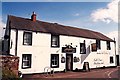
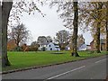
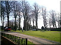
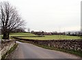
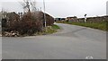
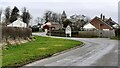
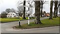
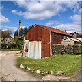
39 photos from this area
Area Information
Key information about the CA8 2DW including its size, population, and administrative classification.
- Area Type
- Postcode
- Area Size
- 3577 m²
- Population
- 1940
- Population Density
- 8 people/km²
House Prices in CA8 2DW
4
Properties
£123,000
Average Sold Price
£70,000
Lowest Price
£208,000
Highest Price
Showing 4 properties
| Address | Type | Beds | Baths | Last Sale Price | Last Sale Date | |
|---|---|---|---|---|---|---|
| Ash Garth, Road Leading From Nickies Hill Junction To Centurion Inn At Walton, Walton, CA8 2DW | Bungalow | - | - | £208,000 | Sep 2021 | |
| West Garth, Road Leading From Nickies Hill Junction To Centurion Inn At Walton, Walton, CA8 2DW | Bungalow | 3 | 1 | £91,000 | May 2002 | |
| Ash Lea, Road Leading From Nickies Hill Junction To Centurion Inn At Walton, Walton, CA8 2DW | Detached | - | - | £70,000 | Jan 1996 | |
| The Bungalow, Ash Lea, Road Leading From Nickies Hill Junction To Centurion Inn At Walton, Walton, CA8 2DW | Terraced | - | - | - | - |
Energy Efficiency in CA8 2DW
Amenities
Schools
| Rank | School | Type | Entry gender | Ages |
|---|
Explore more schools in this area
Go to Schools tabDemographics
Household Size
Two person
most common
Accommodation Type
Houses
most common
Tenure
80
majority
Ethnic Group
White
most common
Religion
N/A
most common
Household Composition
N/A
most common
Age
47
median
Adults (30-64 years)
most common
Household Deprivation
N/A
with no deprivation
NS-SEC
34
in Lower managerial occupations
Explore more demographic insights in this area
Go to Demographics tabPlanning
Planning Constraints
- Flood RiskPremium
- Ramsar Wetland SitesPremium
- Area of Outstanding Natural BeautyPremium
- Protected Nature ReservePremium
- Protected WoodlandPremium