Area Overview for CA19 1XF
Photos of CA19 1XF
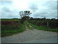
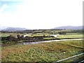
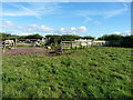
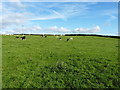
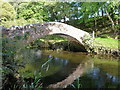
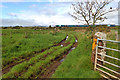
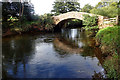
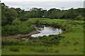
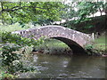
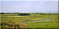
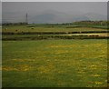

13 photos from this area
Area Information
Key information about the CA19 1XF including its size, population, and administrative classification.
- Area Type
- Postcode
- Area Size
- 47.7 hectares
- Population
- 1112
- Population Density
- 9 people/km²
House Prices in CA19 1XF
14
Properties
£271,667
Average Sold Price
£105,000
Lowest Price
£375,000
Highest Price
Showing 14 properties
| Address | Type | Beds | Baths | Last Sale Price | Last Sale Date | |
|---|---|---|---|---|---|---|
| The Meadows, Drigg, Holmrook, CA19 1XF | Detached | 4 | - | £375,000 | Jan 2022 | |
| Church Style Farm, Drigg, Holmrook, CA19 1XF | house | 5 | - | £335,000 | Sep 2018 | |
| El Su, Drigg, Holmrook, CA19 1XF | Semi-detached | - | - | £105,000 | Feb 2004 | |
| Holmglade, Drigg, Holmrook, CA19 1XF | Bungalow | 2 | - | - | - | |
| Bridgestones, Drigg, Holmrook, CA19 1XF | Detached | - | - | - | - | |
| Church Style House, Drigg, Holmrook, CA19 1XF | Semi-detached | - | - | - | - | |
| Hillcrest, Drigg, Holmrook, CA19 1XF | Detached | - | - | - | - | |
| Throstle Garth, Drigg, Holmrook, CA19 1XF | Detached | - | - | - | - | |
| Rose Cottage, Drigg, Holmrook, CA19 1XF | Detached | - | - | - | - | |
| The Old School, Drigg, Holmrook, CA19 1XF | house | - | - | - | - |
Page 1 of 2
Energy Efficiency in CA19 1XF
Amenities
Schools
| Rank | School | Type | Entry gender | Ages |
|---|
Explore more schools in this area
Go to Schools tabDemographics
Household Size
Two person
most common
Accommodation Type
Houses
most common
Tenure
82
majority
Ethnic Group
White
most common
Religion
N/A
most common
Household Composition
N/A
most common
Age
47
median
Adults (30-64 years)
most common
Household Deprivation
N/A
with no deprivation
NS-SEC
39
in Lower managerial occupations
Explore more demographic insights in this area
Go to Demographics tabPlanning
Planning Constraints
- Flood RiskPremium
- Ramsar Wetland SitesPremium
- Area of Outstanding Natural BeautyPremium
- Protected Nature ReservePremium
- Protected WoodlandPremium