Area Overview for CA17 4SP
Photos of CA17 4SP
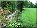
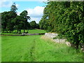
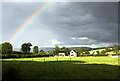
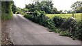
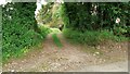
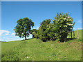
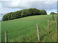
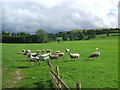
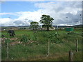
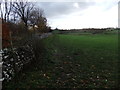
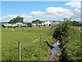
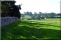
19 photos from this area
Area Information
Key information about the CA17 4SP including its size, population, and administrative classification.
- Area Type
- Postcode
- Area Size
- 13.0 hectares
- Population
- 1325
- Population Density
- 12 people/km²
House Prices in CA17 4SP
18
Properties
£216,500
Average Sold Price
£114,500
Lowest Price
£338,000
Highest Price
Showing 18 properties
| Address | Type | Beds | Baths | Last Sale Price | Last Sale Date | |
|---|---|---|---|---|---|---|
| Pembroke, Rowgate, Kirkby Stephen, CA17 4SP | Semi-detached | 3 | 1 | £195,000 | Nov 2020 | |
| Greystones, Rowgate, Kirkby Stephen, CA17 4SP | Semi-detached | 4 | - | £230,000 | Dec 2017 | |
| Cramond, Rowgate, Kirkby Stephen, CA17 4SP | Bungalow | 4 | - | £276,000 | Mar 2016 | |
| Croglam, Rowgate, Kirkby Stephen, CA17 4SP | house | 3 | - | £155,000 | Aug 2012 | |
| Hazeldene, Rowgate, Kirkby Stephen, CA17 4SP | Bungalow | - | - | £300,000 | Apr 2011 | |
| Lindore, Rowgate, Kirkby Stephen, CA17 4SP | Semi-detached | - | - | £217,500 | Dec 2007 | |
| Dawn Brig, Rowgate, Kirkby Stephen, CA17 4SP | house | - | - | £338,000 | Dec 2006 | |
| Kelton House, Rowgate, Kirkby Stephen, CA17 4SP | house | - | - | £122,500 | Nov 2003 | |
| Lunesdale, Rowgate, Kirkby Stephen, CA17 4SP | house | - | - | £114,500 | Feb 2003 | |
| 2, New Houses, Rowgate, Kirkby Stephen, CA17 4SP | Semi-detached | 3 | - | - | - |
Page 1 of 2
Energy Efficiency in CA17 4SP
Amenities
Schools
| Rank | School | Type | Entry gender | Ages |
|---|
Explore more schools in this area
Go to Schools tabDemographics
Household Size
Two person
most common
Accommodation Type
Houses
most common
Tenure
82
majority
Ethnic Group
White
most common
Religion
N/A
most common
Household Composition
N/A
most common
Age
47
median
Adults (30-64 years)
most common
Household Deprivation
N/A
with no deprivation
NS-SEC
34
in Lower managerial occupations
Explore more demographic insights in this area
Go to Demographics tabPlanning
Planning Constraints
- Flood RiskPremium
- Ramsar Wetland SitesPremium
- Area of Outstanding Natural BeautyPremium
- Protected Nature ReservePremium
- Protected WoodlandPremium