Area Overview for CA11 9LA
Photos of CA11 9LA
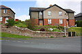
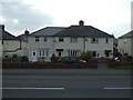
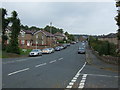
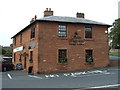
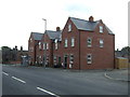
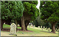
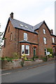
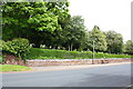
41 photos from this area
Area Information
Key information about the CA11 9LA including its size, population, and administrative classification.
- Area Type
- Postcode
- Area Size
- 2.1 hectares
- Population
- 1103
- Population Density
- 53 people/km²
House Prices in CA11 9LA
8
Properties
£218,667
Average Sold Price
£115,000
Lowest Price
£335,000
Highest Price
Showing 8 properties
| Address | Type | Beds | Baths | Last Sale Price | Last Sale Date | |
|---|---|---|---|---|---|---|
| Fair Hurst, Beacon Edge, Penrith, CA11 9LA | Bungalow | - | - | £302,000 | Dec 2021 | |
| Suneden, Beacon Edge, Penrith, CA11 9LA | Bungalow | 3 | 1 | £210,000 | Jul 2019 | |
| Sparkenhoe, Beacon Edge, Penrith, CA11 9LA | house | - | - | £335,000 | Sep 2015 | |
| Langthorn, Beacon Edge, Penrith, CA11 9LA | Detached | - | - | £225,000 | Aug 2004 | |
| Beacon Garth, Beacon Edge, Penrith, CA11 9LA | Detached | - | - | £125,000 | Apr 1998 | |
| Wilderswood, Beacon Edge, Penrith, CA11 9LA | house | 4 | 3 | £115,000 | Aug 1995 | |
| Blair Lodge, Beacon Edge, Penrith, CA11 9LA | house | - | - | - | - | |
| East Sparkenhoe, Beacon Edge, Penrith, CA11 9LA | Semi-detached | - | - | - | - |
Energy Efficiency in CA11 9LA
Amenities
Schools
| Rank | School | Type | Entry gender | Ages |
|---|
Explore more schools in this area
Go to Schools tabDemographics
Household Size
Two person
most common
Accommodation Type
Houses
most common
Tenure
84
majority
Ethnic Group
White
most common
Religion
N/A
most common
Household Composition
N/A
most common
Age
47
median
Adults (30-64 years)
most common
Household Deprivation
N/A
with no deprivation
NS-SEC
42
in Lower managerial occupations
Explore more demographic insights in this area
Go to Demographics tabPlanning
Planning Constraints
- Flood RiskPremium
- Ramsar Wetland SitesPremium
- Area of Outstanding Natural BeautyPremium
- Protected Nature ReservePremium
- Protected WoodlandPremium