Area Overview for CA11 0RD
Photos of CA11 0RD
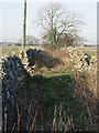
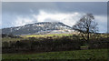
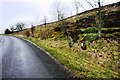
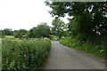
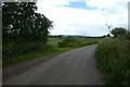
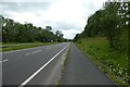
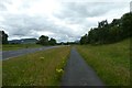
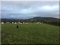
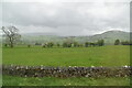

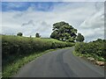
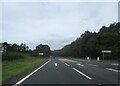
26 photos from this area
Area Information
Key information about the CA11 0RD including its size, population, and administrative classification.
- Area Type
- Postcode
- Area Size
- 93.4 hectares
- Population
- 1363
- Population Density
- 9 people/km²
House Prices in CA11 0RD
29
Properties
£301,875
Average Sold Price
£180,000
Lowest Price
£420,000
Highest Price
Showing 29 properties
| Address | Type | Beds | Baths | Last Sale Price | Last Sale Date | |
|---|---|---|---|---|---|---|
| Birch Cottage, From Penruddock Hall To Slack Gate, Penruddock, CA11 0RD | Farm | 3 | 2 | £320,000 | Nov 2022 | |
| Byre End, From Penruddock Hall To Slack Gate, Penruddock, CA11 0RD | house | - | - | £250,000 | Jul 2021 | |
| Town End, Penruddock To Beckes, Penruddock, CA11 0RD | house | - | - | £330,000 | Feb 2021 | |
| Sawmill Cottage, From Penruddock Hall To Slack Gate, Penruddock, CA11 0RD | Detached | 3 | 1 | £260,000 | Aug 2018 | |
| The Hellings, Penruddock To Beckes, Penruddock, CA11 0RD | Detached | 3 | - | £420,000 | Oct 2017 | |
| Nord View, From Penruddock Hall To Slack Gate, Penruddock, CA11 0RD | Detached | 6 | - | £375,000 | Nov 2014 | |
| Beck Cottage, From Penruddock Hall To Slack Gate, Penruddock, CA11 0RD | Cottage | 3 | - | £180,000 | Apr 2013 | |
| Tanglewood, Penruddock To Beckes, Penruddock, CA11 0RD | house | - | - | £280,000 | Sep 2010 | |
| Home Farm, From Penruddock Hall To Slack Gate, Penruddock, CA11 0RD | Detached | 4 | 3 | - | - | |
| Beech Cottage, Penruddock To Beckes, Penruddock, CA11 0RD | Terraced | 3 | 2 | - | - |
Page 1 of 3
Energy Efficiency in CA11 0RD
Amenities
Schools
| Rank | School | Type | Entry gender | Ages |
|---|
Explore more schools in this area
Go to Schools tabDemographics
Household Size
Two person
most common
Accommodation Type
Houses
most common
Tenure
73
majority
Ethnic Group
White
most common
Religion
N/A
most common
Household Composition
N/A
most common
Age
47
median
Adults (30-64 years)
most common
Household Deprivation
N/A
with no deprivation
NS-SEC
36
in Lower managerial occupations
Explore more demographic insights in this area
Go to Demographics tabPlanning
Planning Constraints
- Flood RiskPremium
- Ramsar Wetland SitesPremium
- Area of Outstanding Natural BeautyPremium
- Protected Nature ReservePremium
- Protected WoodlandPremium