Area Overview for CA1 2PZ
Photos of CA1 2PZ
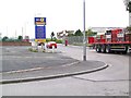
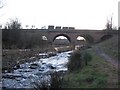
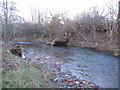
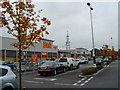
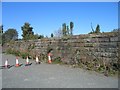
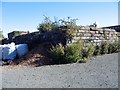
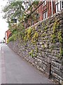
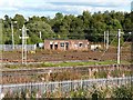
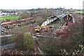
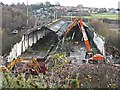

100 photos from this area
Area Information
Key information about the CA1 2PZ including its size, population, and administrative classification.
- Area Type
- Postcode
- Area Size
- 7369 m²
- Population
- 1519
- Population Density
- 1628 people/km²
House Prices in CA1 2PZ
40
Properties
£106,012
Average Sold Price
£32,000
Lowest Price
£220,000
Highest Price
Showing 40 properties
| Address | Type | Beds | Baths | Last Sale Price | Last Sale Date | |
|---|---|---|---|---|---|---|
| 5, Lazonby Terrace, London Road, Carlisle, CA1 2PZ | Terraced | 5 | 2 | £130,000 | Aug 2025 | |
| 9, Lazonby Terrace, London Road, Carlisle, CA1 2PZ | Terraced | 4 | 2 | £167,500 | Nov 2024 | |
| 27, Lazonby Terrace, London Road, Carlisle, CA1 2PZ | Maisonette | 3 | 1 | £90,000 | Jun 2024 | |
| 2, Lazonby Terrace, London Road, Carlisle, CA1 2PZ | Terraced | 4 | - | £107,000 | Apr 2023 | |
| 21, Lazonby Terrace, London Road, Carlisle, CA1 2PZ | Flat | 1 | 1 | £63,500 | Aug 2021 | |
| 3, Lazonby Terrace, London Road, Carlisle, CA1 2PZ | house | - | - | £119,000 | Jul 2021 | |
| Kenilworth Guest House, 34, Lazonby Terrace, London Road, Carlisle, CA1 2PZ | house | - | - | £220,000 | Jan 2021 | |
| 22, Lazonby Terrace, London Road, Carlisle, CA1 2PZ | Flat | 1 | 1 | £50,000 | Jan 2021 | |
| 30, Lazonby Terrace, London Road, Carlisle, CA1 2PZ | Terraced | 5 | 2 | £182,000 | Oct 2019 | |
| 28, Lazonby Terrace, London Road, Carlisle, CA1 2PZ | Maisonette | 3 | 1 | £75,000 | Apr 2018 |
Page 1 of 4
Energy Efficiency in CA1 2PZ
Amenities
Schools
| Rank | School | Type | Entry gender | Ages |
|---|
Explore more schools in this area
Go to Schools tabDemographics
Household Size
One person
most common
Accommodation Type
Houses
most common
Tenure
68
majority
Ethnic Group
White
most common
Religion
N/A
most common
Household Composition
N/A
most common
Age
47
median
Adults (30-64 years)
most common
Household Deprivation
N/A
with no deprivation
NS-SEC
25
in Lower managerial occupations
Explore more demographic insights in this area
Go to Demographics tabPlanning
Planning Constraints
- Flood RiskPremium
- Ramsar Wetland SitesPremium
- Area of Outstanding Natural BeautyPremium
- Protected Nature ReservePremium
- Protected WoodlandPremium