Area Overview for Burtholme
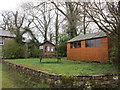
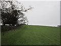
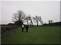
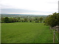
Photos of Burtholme
Area Information
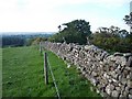
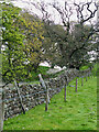
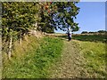
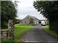
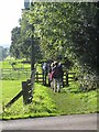
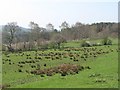
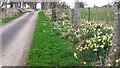
Burtholme is a civil parish located within the Cumberland unitary authority district of Cumbria in North West England. The area spans 11.1 km² and includes the villages of Lanercost and Banks, alongside a small hamlet situated on the River Irthing. It lies approximately three miles southwest of Brampton and carries the CA8 2GA postcode, which falls within the broader CA8 area around Carlisle. The name dates back to the Danelaw period and was formally established by 1169 when Lanercost Priory's founding charter defined Burtholme Beck as its western boundary. One of the most distinctive features is Hadrian's Wall, which runs directly through the parish. This ancient structure crosses Burtholme Beck near Turret 53B, where the wall stone changes from limestone on the east side to sandstone on the west. Originally a township in Lanercost parish and Eskdale ward, the area became an independent civil parish in 1894. While the 2011 census recorded a population of 200, the landscape today is defined by its rural setting and proximity to historic landmarks. Living in Burtholme means residing in a location with deep historical roots, distinct geological features, and a close connection to the River Irthing.
- Area Type
- Parish
- Area Size
- 11.1 km²
- Population
- Not available
- Population Density
- Not available
Demographics
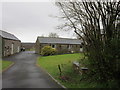
The community in Burtholme has a notably older age profile compared to wider national averages. The median age is 70, indicating that the area is predominantly inhabited by older adults. This demographic pattern suggests a population that has settled into a slower, more established lifestyle. Home ownership is extremely high, with 80% of residents owning their homes outright or with a mortgage. This statistic reflects an area where generations have built lives in the same location rather than moving frequently for work or education. The high rate of ownership also points towards accommodation types likely suited to older residents, such as detached or semi-detached properties that require less communal maintenance. There is no indication of significant deprivation within the demographic data provided, which aligns with the high home ownership rate. The age structure implies limited young families or transient populations currently living in Burtholme. Instead, the community consists largely of established households who have chosen this parish for its specific character and proximity to larger towns like Brampton.
Household Size
Accommodation Type
Tenure
Ethnic Group
Religion
Household Composition
Age
Household Deprivation
NS-SEC
Explore more demographic insights in this area
Go to Demographics tabPlanning
Planning Constraints
- Flood RiskLocked
- Ramsar Wetland SitesLocked
- Area of Outstanding Natural BeautyLocked
- Protected Nature ReserveLocked
- Protected WoodlandLocked
- Crime RiskLocked