Area Overview for Bretherton
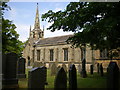
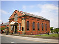
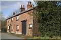
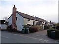
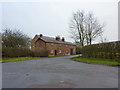
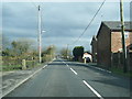
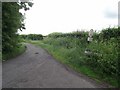
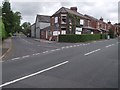
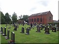
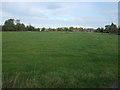
Photos of Bretherton


Area Information
Bretherton is a built-up area in England covering 47.3 hectares, characterised by its compact size and established residential fabric. With a median age of 70, the population reflects a community where older residents predominate, suggesting a stable, long-term demographic. Home ownership is high at 85%, indicating a strong sense of local attachment. The area is served by five nearby railway stations, including Croston and Rufford, offering practical connections to surrounding towns. Daily life here balances proximity to amenities such as Morrisons and Aldi with the quietude of a smaller settlement. Bretherton’s character is defined by its accessibility—within reach of major transport routes and a nearby airport—while retaining the charm of a close-knit community. For those seeking a place with low crime risk and reliable digital connectivity, Bretherton offers a blend of practicality and tranquillity. Its compact footprint ensures that essential services are within walking distance, making it a viable choice for those prioritising convenience without sacrificing the benefits of a town setting.
- Area Type
- Built Up Area 250
- Area Size
- 47.3 hectares
- Population
- Not available
- Population Density
- Not available
Bretherton’s lifestyle is shaped by its proximity to a range of amenities within practical reach. Five railway stations, including Croston and Rufford, provide reliable links to nearby towns, while retail options such as Morrisons, Aldi, and Spar cater to daily shopping needs. The presence of Warton Airport adds to the area’s accessibility, though its role in daily life is less defined. For leisure, the area’s compact size ensures that essential services are close, though specific parks or recreational facilities are not detailed in the data. The mix of retail and transport options suggests a community that values convenience, with residents able to access both local services and broader regional networks without significant travel. This balance of practicality and connectivity supports a lifestyle that is neither isolated nor overly reliant on car travel, making Bretherton appealing to those seeking a well-connected yet manageable living environment.
Amenities
Schools
The nearest school to Bretherton is the Bretherton Endowed Church of England Voluntary Aided Primary School, a primary institution with an Ofsted rating of ‘good’. This single school serves the area’s educational needs for younger children, though no secondary schools are listed in the data. The presence of a primary school with a positive rating indicates a baseline level of educational provision, though families requiring secondary education may need to look beyond the immediate vicinity. The limited school options suggest that Bretherton is better suited for those with younger children or those willing to commute for secondary schooling. For parents prioritising strong primary education, the local school offers a reliable, if modest, resource within the community.
| Rank | School | Type | Entry gender | Ages |
|---|
Explore more schools in this area
Go to Schools tabDemographics
Bretherton’s population has a median age of 70, with the most common age range encompassing all age groups. This suggests a community where older residents form a significant proportion, though the data does not specify the distribution of younger demographics. Home ownership is exceptionally high at 85%, reflecting a predominantly owner-occupied area with limited rental activity. The accommodation types and household composition are reported as ‘total’, meaning no breakdown is available, but the high ownership rate implies a stable, long-term resident base. The predominant ethnic group and religious affiliation are also aggregated as ‘total’, so specific diversity metrics are not provided. This data underscores a community with a strong local presence, where the majority of residents live in their own homes. While no deprivation data is available, the high home ownership and low crime risk suggest a quality of life that prioritises security and continuity over rapid demographic change.
Household Size
Accommodation Type
Tenure
Ethnic Group
Religion
Household Composition
Age
Household Deprivation
NS-SEC
Explore more demographic insights in this area
Go to Demographics tabPlanning
Planning Constraints
- Crime RiskPremium