Area Overview for BL9 9UA
Photos of BL9 9UA
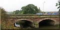
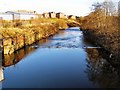
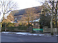
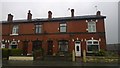
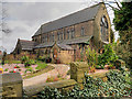

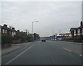

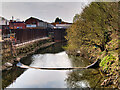
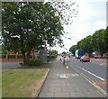
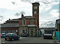
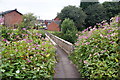
38 photos from this area
Area Information
Key information about the BL9 9UA including its size, population, and administrative classification.
- Area Type
- Postcode
- Area Size
- 9898 m²
- Population
- 1734
- Population Density
- 1885 people/km²
House Prices in BL9 9UA
18
Properties
£174,223
Average Sold Price
£54,950
Lowest Price
£360,000
Highest Price
Showing 18 properties
| Address | Type | Beds | Baths | Last Sale Price | Last Sale Date | |
|---|---|---|---|---|---|---|
| 39 Hampson Mill Lane, Bury, BL9 9UA | Semi-detached | 4 | 2 | £121,000 | Aug 2024 | |
| 17 Hampson Mill Lane, Bury, BL9 9UA | Semi-detached | 3 | 1 | £205,000 | Apr 2024 | |
| 9 Hampson Mill Lane, Bury, BL9 9UA | Semi-detached | 4 | 1 | £360,000 | Sep 2022 | |
| 19 Hampson Mill Lane, Bury, BL9 9UA | Semi-detached | 3 | 2 | £295,000 | Sep 2022 | |
| 5 Hampson Mill Lane, Bury, BL9 9UA | house | - | - | £200,000 | Jul 2021 | |
| 29 Hampson Mill Lane, Bury, BL9 9UA | Semi-detached | 3 | 1 | £185,000 | Jun 2018 | |
| 23 Hampson Mill Lane, Bury, BL9 9UA | Semi-detached | 3 | 1 | £142,500 | Dec 2014 | |
| 37 Hampson Mill Lane, Bury, BL9 9UA | house | - | - | £155,000 | Sep 2012 | |
| 15 Hampson Mill Lane, Bury, BL9 9UA | Semi-detached | - | - | £142,000 | Mar 2006 | |
| 31 Hampson Mill Lane, Bury, BL9 9UA | Semi-detached | 4 | 2 | £54,950 | Jul 1999 |
Page 1 of 2
Energy Efficiency in BL9 9UA
Amenities
Schools
| Rank | School | Type | Entry gender | Ages |
|---|
Explore more schools in this area
Go to Schools tabDemographics
Household Size
Two person
most common
Accommodation Type
Houses
most common
Tenure
75
majority
Ethnic Group
White
most common
Religion
N/A
most common
Household Composition
N/A
most common
Age
47
median
Adults (30-64 years)
most common
Household Deprivation
N/A
with no deprivation
NS-SEC
32
in Lower managerial occupations
Explore more demographic insights in this area
Go to Demographics tabPlanning
Planning Constraints
- Flood RiskPremium
- Ramsar Wetland SitesPremium
- Area of Outstanding Natural BeautyPremium
- Protected Nature ReservePremium
- Protected WoodlandPremium