Area Overview for BL9 9SH
Photos of BL9 9SH
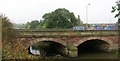
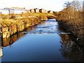
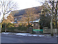
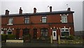
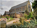
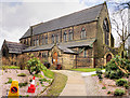
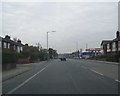
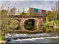
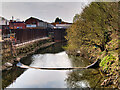
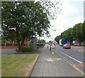
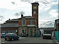
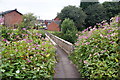
38 photos from this area
Area Information
Key information about the BL9 9SH including its size, population, and administrative classification.
- Area Type
- Postcode
- Area Size
- 1.4 hectares
- Population
- 1734
- Population Density
- 1885 people/km²
House Prices in BL9 9SH
31
Properties
£239,971
Average Sold Price
£105,000
Lowest Price
£540,000
Highest Price
Showing 31 properties
| Address | Type | Beds | Baths | Last Sale Price | Last Sale Date | |
|---|---|---|---|---|---|---|
| 505 Manchester Road, Bury, BL9 9SH | Semi-detached | 3 | 1 | £253,000 | Jan 2025 | |
| 487 Manchester Road, Bury, BL9 9SH | Semi-detached | 3 | 1 | £284,000 | Sep 2024 | |
| 475 Manchester Road, Bury, BL9 9SH | Semi-detached | 6 | 3 | £530,000 | Jul 2024 | |
| 499 Manchester Road, Bury, BL9 9SH | Semi-detached | 3 | 1 | £210,000 | May 2023 | |
| 511 Manchester Road, Bury, BL9 9SH | Semi-detached | 3 | 2 | £300,000 | Mar 2023 | |
| 521 Manchester Road, Bury, BL9 9SH | Semi-detached | 3 | 2 | £225,000 | Sep 2021 | |
| 507 Manchester Road, Bury, BL9 9SH | Semi-detached | 3 | 1 | £175,000 | Aug 2019 | |
| 483 Manchester Road, Bury, BL9 9SH | Semi-detached | 3 | - | £225,000 | Dec 2018 | |
| 509 Manchester Road, Bury, BL9 9SH | Semi-detached | 3 | 1 | £215,500 | Oct 2018 | |
| 479 Manchester Road, Bury, BL9 9SH | Detached | 6 | 3 | £540,000 | Sep 2018 |
Page 1 of 4
Energy Efficiency in BL9 9SH
Amenities
Schools
| Rank | School | Type | Entry gender | Ages |
|---|
Explore more schools in this area
Go to Schools tabDemographics
Household Size
Two person
most common
Accommodation Type
Houses
most common
Tenure
75
majority
Ethnic Group
White
most common
Religion
N/A
most common
Household Composition
N/A
most common
Age
47
median
Adults (30-64 years)
most common
Household Deprivation
N/A
with no deprivation
NS-SEC
32
in Lower managerial occupations
Explore more demographic insights in this area
Go to Demographics tabPlanning
Planning Constraints
- Flood RiskPremium
- Ramsar Wetland SitesPremium
- Area of Outstanding Natural BeautyPremium
- Protected Nature ReservePremium
- Protected WoodlandPremium