Area Overview for BL9 9NS
Photos of BL9 9NS
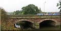
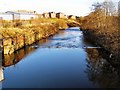
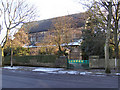
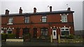
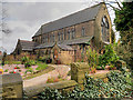
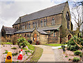
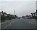
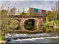
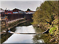
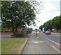
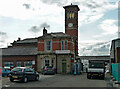
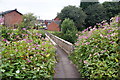
38 photos from this area
Area Information
Key information about the BL9 9NS including its size, population, and administrative classification.
- Area Type
- Postcode
- Area Size
- 1.8 hectares
- Population
- 1786
- Population Density
- 2979 people/km²
House Prices in BL9 9NS
16
Properties
£169,361
Average Sold Price
£12,000
Lowest Price
£354,950
Highest Price
Showing 16 properties
| Address | Type | Beds | Baths | Last Sale Price | Last Sale Date | |
|---|---|---|---|---|---|---|
| 424 Manchester Road, Bury, BL9 9NS | Semi-detached | 4 | 1 | £255,500 | Dec 2021 | |
| 426 Manchester Road, Bury, BL9 9NS | Terraced | 4 | 1 | £175,000 | Dec 2019 | |
| 428 Manchester Road, Bury, BL9 9NS | Terraced | 2 | - | £120,000 | Jun 2016 | |
| 414 Manchester Road, Bury, BL9 9NS | Semi-detached | 6 | 2 | £350,000 | Oct 2015 | |
| 440 MANCHESTER ROAD, Bury, BL9 9NS | Detached | 3 | 3 | £100,000 | Nov 2013 | |
| 420 Manchester Road, Bury, BL9 9NS | house | 3 | - | £126,800 | May 2013 | |
| 412 Manchester Road, Bury, BL9 9NS | Semi-detached | 6 | 2 | £354,950 | Sep 2008 | |
| 438 Manchester Road, Bury, BL9 9NS | house | - | - | £12,000 | Oct 2004 | |
| 432 Manchester Road, Bury, BL9 9NS | house | - | - | £30,000 | Dec 1998 | |
| 422 Manchester Road, Bury, BL9 9NS | Terraced | 4 | - | - | - |
Page 1 of 2
Energy Efficiency in BL9 9NS
Amenities
Schools
| Rank | School | Type | Entry gender | Ages |
|---|
Explore more schools in this area
Go to Schools tabDemographics
Household Size
Family (3-5 people)
most common
Accommodation Type
Houses
most common
Tenure
62
majority
Ethnic Group
White
most common
Religion
N/A
most common
Household Composition
N/A
most common
Age
47
median
Adults (30-64 years)
most common
Household Deprivation
N/A
with no deprivation
NS-SEC
31
in Lower managerial occupations
Explore more demographic insights in this area
Go to Demographics tabPlanning
Planning Constraints
- Flood RiskPremium
- Ramsar Wetland SitesPremium
- Area of Outstanding Natural BeautyPremium
- Protected Nature ReservePremium
- Protected WoodlandPremium