Area Overview for BL9 9LN
Photos of BL9 9LN
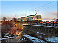
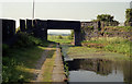
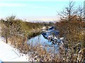
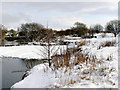
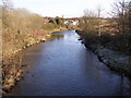
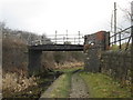
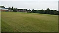
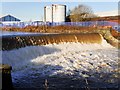
99 photos from this area
Area Information
Key information about the BL9 9LN including its size, population, and administrative classification.
- Area Type
- Postcode
- Area Size
- 8725 m²
- Population
- 1786
- Population Density
- 4610 people/km²
House Prices in BL9 9LN
17
Properties
£152,167
Average Sold Price
£59,000
Lowest Price
£220,000
Highest Price
Showing 17 properties
| Address | Type | Beds | Baths | Last Sale Price | Last Sale Date | |
|---|---|---|---|---|---|---|
| 163 Radcliffe Road, Bury, BL9 9LN | house | - | - | £220,000 | Sep 2022 | |
| 165 Radcliffe Road, Bury, BL9 9LN | Semi-detached | 3 | 1 | £210,000 | May 2021 | |
| 145 Radcliffe Road, Bury, BL9 9LN | house | - | - | £170,000 | Jul 2015 | |
| 159 Radcliffe Road, Bury, BL9 9LN | house | 3 | - | £146,000 | Oct 2010 | |
| 153 Radcliffe Road, Bury, BL9 9LN | house | - | - | £180,000 | Sep 2007 | |
| 161 Radcliffe Road, Bury, BL9 9LN | Detached | - | - | £195,000 | May 2006 | |
| 147 Radcliffe Road, Bury, BL9 9LN | house | - | - | £160,000 | Mar 2006 | |
| 143 Radcliffe Road, Bury, BL9 9LN | Retail | - | - | £159,000 | Jun 2005 | |
| 155 Radcliffe Road, Bury, BL9 9LN | house | - | - | £161,000 | Dec 2004 | |
| 151 Radcliffe Road, Bury, BL9 9LN | house | - | - | £59,000 | Jan 2003 |
Page 1 of 2
Energy Efficiency in BL9 9LN
Amenities
Schools
| Rank | School | Type | Entry gender | Ages |
|---|
Explore more schools in this area
Go to Schools tabDemographics
Household Size
One person
most common
Accommodation Type
Houses
most common
Tenure
35
majority
Ethnic Group
White
most common
Religion
N/A
most common
Household Composition
N/A
most common
Age
47
median
Adults (30-64 years)
most common
Household Deprivation
N/A
with no deprivation
NS-SEC
19
in Lower managerial occupations
Explore more demographic insights in this area
Go to Demographics tabPlanning
Planning Constraints
- Flood RiskPremium
- Ramsar Wetland SitesPremium
- Area of Outstanding Natural BeautyPremium
- Protected Nature ReservePremium
- Protected WoodlandPremium