Area Overview for BL9 9HF
Photos of BL9 9HF
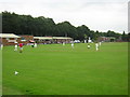
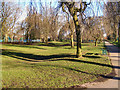
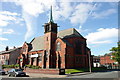
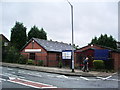
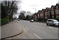
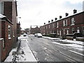
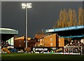
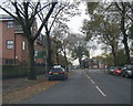
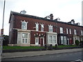
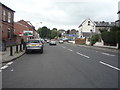
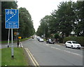
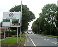
92 photos from this area
Area Information
Key information about the BL9 9HF including its size, population, and administrative classification.
- Area Type
- Postcode
- Area Size
- 6356 m²
- Population
- 1697
- Population Density
- 1985 people/km²
House Prices in BL9 9HF
24
Properties
£121,413
Average Sold Price
£35,000
Lowest Price
£230,000
Highest Price
Showing 24 properties
| Address | Type | Beds | Baths | Last Sale Price | Last Sale Date | |
|---|---|---|---|---|---|---|
| 69 Heaton Fold, Bury, BL9 9HF | house | 4 | 2 | £230,000 | Apr 2023 | |
| 49 Heaton Fold, Bury, BL9 9HF | Terraced | 3 | 1 | £190,000 | Feb 2023 | |
| 33 Heaton Fold, Bury, BL9 9HF | house | - | - | £215,000 | Mar 2022 | |
| 45 Heaton Fold, Bury, BL9 9HF | house | - | - | £141,000 | Sep 2021 | |
| 63 Heaton Fold, Bury, BL9 9HF | Terraced | 2 | 1 | £110,000 | Oct 2017 | |
| 55 Heaton Fold, Bury, BL9 9HF | Terraced | 2 | 1 | £80,000 | Mar 2017 | |
| 59 Heaton Fold, Bury, BL9 9HF | Terraced | 2 | 1 | £75,500 | Oct 2014 | |
| 67 Heaton Fold, Bury, BL9 9HF | Terraced | 2 | - | £90,000 | Oct 2013 | |
| 53 Heaton Fold, Bury, BL9 9HF | Terraced | 2 | - | £75,000 | Dec 2012 | |
| 57 Heaton Fold, Bury, BL9 9HF | house | - | - | £91,000 | Apr 2012 |
Page 1 of 3
Energy Efficiency in BL9 9HF
Amenities
Schools
| Rank | School | Type | Entry gender | Ages |
|---|
Explore more schools in this area
Go to Schools tabDemographics
Household Size
Two person
most common
Accommodation Type
Houses
most common
Tenure
71
majority
Ethnic Group
White
most common
Religion
N/A
most common
Household Composition
N/A
most common
Age
47
median
Adults (30-64 years)
most common
Household Deprivation
N/A
with no deprivation
NS-SEC
29
in Lower managerial occupations
Explore more demographic insights in this area
Go to Demographics tabPlanning
Planning Constraints
- Flood RiskPremium
- Ramsar Wetland SitesPremium
- Area of Outstanding Natural BeautyPremium
- Protected Nature ReservePremium
- Protected WoodlandPremium