Area Overview for BL9 9EJ
Photos of BL9 9EJ
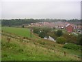
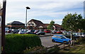
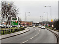
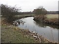
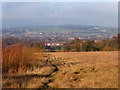
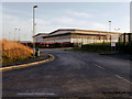
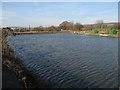
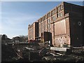
47 photos from this area
Area Information
Key information about the BL9 9EJ including its size, population, and administrative classification.
- Area Type
- Postcode
- Area Size
- 4871 m²
- Population
- 2235
- Population Density
- 7744 people/km²
House Prices in BL9 9EJ
20
Properties
£85,627
Average Sold Price
£43,950
Lowest Price
£160,000
Highest Price
Showing 20 properties
| Address | Type | Beds | Baths | Last Sale Price | Last Sale Date | |
|---|---|---|---|---|---|---|
| 218 Alfred Street, Bury, BL9 9EJ | Terraced | 2 | - | £160,000 | Dec 2021 | |
| 228 Alfred Street, Bury, BL9 9EJ | Flat | - | - | £58,000 | Jul 2018 | |
| 212 Alfred Street, Bury, BL9 9EJ | house | - | - | £138,000 | May 2018 | |
| 220 Alfred Street, Bury, BL9 9EJ | Terraced | 2 | - | £81,000 | Nov 2014 | |
| 214 Alfred Street, Bury, BL9 9EJ | Terraced | - | - | £92,500 | Apr 2009 | |
| 204 Alfred Street, Bury, BL9 9EJ | house | - | - | £140,000 | Nov 2007 | |
| 208 Alfred Street, Bury, BL9 9EJ | house | - | - | £90,000 | Apr 2007 | |
| 222 Alfred Street, Bury, BL9 9EJ | house | - | - | £46,950 | Dec 2002 | |
| 216 Alfred Street, Bury, BL9 9EJ | Terraced | - | - | £43,950 | Aug 1999 | |
| 206 Alfred Street, Bury, BL9 9EJ | Semi-detached | - | - | £46,500 | Jun 1999 |
Page 1 of 2
Energy Efficiency in BL9 9EJ
Amenities
Schools
| Rank | School | Type | Entry gender | Ages |
|---|
Explore more schools in this area
Go to Schools tabDemographics
Household Size
Family (3-5 people)
most common
Accommodation Type
Houses
most common
Tenure
36
majority
Ethnic Group
White
most common
Religion
N/A
most common
Household Composition
N/A
most common
Age
47
median
Adults (30-64 years)
most common
Household Deprivation
N/A
with no deprivation
NS-SEC
15
in Lower managerial occupations
Explore more demographic insights in this area
Go to Demographics tabPlanning
Planning Constraints
- Flood RiskPremium
- Ramsar Wetland SitesPremium
- Area of Outstanding Natural BeautyPremium
- Protected Nature ReservePremium
- Protected WoodlandPremium