Area Overview for BL9 9DE
Photos of BL9 9DE
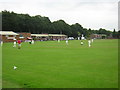
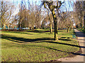
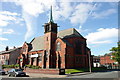
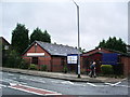
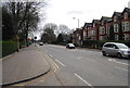
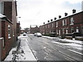
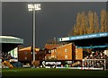
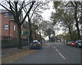
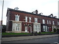
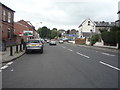
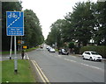
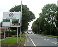
92 photos from this area
Area Information
Key information about the BL9 9DE including its size, population, and administrative classification.
- Area Type
- Postcode
- Area Size
- 8272 m²
- Population
- 1985
- Population Density
- 7959 people/km²
House Prices in BL9 9DE
25
Properties
£118,503
Average Sold Price
£27,500
Lowest Price
£211,000
Highest Price
Showing 25 properties
| Address | Type | Beds | Baths | Last Sale Price | Last Sale Date | |
|---|---|---|---|---|---|---|
| 59 Rhiwlas Drive, Bury, BL9 9DE | Semi-detached | 3 | 1 | £195,000 | Jun 2025 | |
| 32 Rhiwlas Drive, Bury, BL9 9DE | house | - | - | £211,000 | Apr 2025 | |
| 49 Rhiwlas Drive, Bury, BL9 9DE | Semi-detached | 3 | 1 | £177,000 | Aug 2024 | |
| 40 Rhiwlas Drive, Bury, BL9 9DE | Detached | 3 | 1 | £182,000 | Jun 2021 | |
| 28 Rhiwlas Drive, Bury, BL9 9DE | Detached | 3 | 1 | £190,000 | May 2021 | |
| 42 Rhiwlas Drive, Bury, BL9 9DE | house | - | - | £147,500 | Feb 2021 | |
| 61 Rhiwlas Drive, Bury, BL9 9DE | Semi-detached | 3 | 1 | £90,000 | Sep 2019 | |
| 63 Rhiwlas Drive, Bury, BL9 9DE | Semi-detached | 3 | 1 | £140,000 | Aug 2019 | |
| 53 Rhiwlas Drive, Bury, BL9 9DE | Semi-detached | 3 | 1 | £113,000 | Sep 2016 | |
| 30 Rhiwlas Drive, Bury, BL9 9DE | house | 3 | - | £125,000 | Feb 2011 |
Page 1 of 3
Energy Efficiency in BL9 9DE
Amenities
Schools
| Rank | School | Type | Entry gender | Ages |
|---|
Explore more schools in this area
Go to Schools tabDemographics
Household Size
Family (3-5 people)
most common
Accommodation Type
Houses
most common
Tenure
68
majority
Ethnic Group
asian_total
most common
Religion
N/A
most common
Household Composition
N/A
most common
Age
47
median
Adults (30-64 years)
most common
Household Deprivation
N/A
with no deprivation
NS-SEC
18
in Lower managerial occupations
Explore more demographic insights in this area
Go to Demographics tabPlanning
Planning Constraints
- Flood RiskPremium
- Ramsar Wetland SitesPremium
- Area of Outstanding Natural BeautyPremium
- Protected Nature ReservePremium
- Protected WoodlandPremium