Area Overview for BL9 8EF
Photos of BL9 8EF
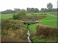
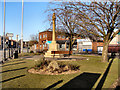
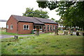
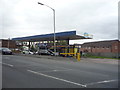
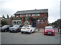
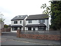
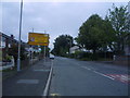
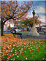
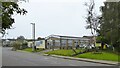
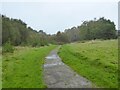
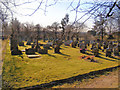
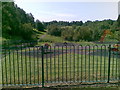
32 photos from this area
Area Information
Key information about the BL9 8EF including its size, population, and administrative classification.
- Area Type
- Postcode
- Area Size
- 5.4 hectares
- Population
- 1448
- Population Density
- 3792 people/km²
House Prices in BL9 8EF
40
Properties
£206,036
Average Sold Price
£67,500
Lowest Price
£650,000
Highest Price
Showing 40 properties
| Address | Type | Beds | Baths | Last Sale Price | Last Sale Date | |
|---|---|---|---|---|---|---|
| 44 Ajax Drive, Bury, BL9 8EF | Detached | 4 | 3 | £650,000 | May 2025 | |
| 85 Ajax Drive, Bury, BL9 8EF | Retail | 3 | 1 | £390,000 | Nov 2022 | |
| 45 Ajax Drive, Bury, BL9 8EF | Semi-detached | 3 | 1 | £210,000 | May 2021 | |
| 68A Ajax Drive, Bury, BL9 8EF | Detached | 4 | 3 | £425,000 | Aug 2019 | |
| 47 Ajax Drive, Bury, BL9 8EF | Semi-detached | 3 | 1 | £289,000 | Jun 2019 | |
| 54 Ajax Drive, Bury, BL9 8EF | Semi-detached | 3 | 1 | £235,000 | Jan 2018 | |
| 62 Ajax Drive, Bury, BL9 8EF | Semi-detached | 3 | - | £170,000 | Mar 2017 | |
| 65 Ajax Drive, Bury, BL9 8EF | Semi-detached | 3 | 1 | £213,500 | Jul 2016 | |
| 52 Ajax Drive, Bury, BL9 8EF | Semi-detached | 3 | - | £212,500 | Jul 2016 | |
| 36 Ajax Drive, Bury, BL9 8EF | Semi-detached | 3 | - | £160,000 | May 2016 |
Page 1 of 4
Energy Efficiency in BL9 8EF
Amenities
Schools
| Rank | School | Type | Entry gender | Ages |
|---|
Explore more schools in this area
Go to Schools tabDemographics
Household Size
Family (3-5 people)
most common
Accommodation Type
Houses
most common
Tenure
88
majority
Ethnic Group
White
most common
Religion
N/A
most common
Household Composition
N/A
most common
Age
47
median
Adults (30-64 years)
most common
Household Deprivation
N/A
with no deprivation
NS-SEC
41
in Lower managerial occupations
Explore more demographic insights in this area
Go to Demographics tabPlanning
Planning Constraints
- Flood RiskPremium
- Ramsar Wetland SitesPremium
- Area of Outstanding Natural BeautyPremium
- Protected Nature ReservePremium
- Protected WoodlandPremium