Area Overview for BL9 8AP
Photos of BL9 8AP
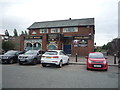
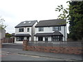
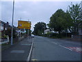
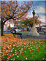
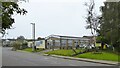
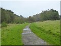
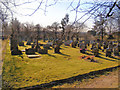
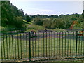
32 photos from this area
Area Information
Key information about the BL9 8AP including its size, population, and administrative classification.
- Area Type
- Postcode
- Area Size
- 5.4 hectares
- Population
- 1618
- Population Density
- 2763 people/km²
House Prices in BL9 8AP
38
Properties
£85,095
Average Sold Price
£24,500
Lowest Price
£200,000
Highest Price
Showing 38 properties
| Address | Type | Beds | Baths | Last Sale Price | Last Sale Date | |
|---|---|---|---|---|---|---|
| 5 Hunters Hill, Bury, BL9 8AP | Semi-detached | 2 | 1 | £200,000 | Feb 2025 | |
| 21 Hunters Hill, Bury, BL9 8AP | house | - | - | £130,000 | Jul 2022 | |
| 11 Hunters Hill, Bury, BL9 8AP | house | - | - | £168,000 | Sep 2021 | |
| 27 Hunters Hill, Bury, BL9 8AP | Semi-detached | 2 | 1 | £87,000 | Jul 2017 | |
| 7 Hunters Hill, Bury, BL9 8AP | Semi-detached | 2 | 1 | £78,000 | Jul 2016 | |
| 43 Hunters Hill, Bury, BL9 8AP | Semi-detached | - | - | £50,000 | Sep 2002 | |
| 25 Hunters Hill, Bury, BL9 8AP | Semi-detached | - | - | £48,500 | May 2002 | |
| 39 Hunters Hill, Bury, BL9 8AP | Semi-detached | - | - | £25,000 | Aug 2000 | |
| 31 Hunters Hill, Bury, BL9 8AP | Semi-detached | - | - | £39,950 | Apr 1999 | |
| 35 Hunters Hill, Bury, BL9 8AP | Semi-detached | - | - | £24,500 | Mar 1998 |
Page 1 of 4
Energy Efficiency in BL9 8AP
Amenities
Schools
| Rank | School | Type | Entry gender | Ages |
|---|
Explore more schools in this area
Go to Schools tabDemographics
Household Size
Two person
most common
Accommodation Type
Houses
most common
Tenure
75
majority
Ethnic Group
White
most common
Religion
N/A
most common
Household Composition
N/A
most common
Age
47
median
Adults (30-64 years)
most common
Household Deprivation
N/A
with no deprivation
NS-SEC
39
in Lower managerial occupations
Explore more demographic insights in this area
Go to Demographics tabPlanning
Planning Constraints
- Flood RiskPremium
- Ramsar Wetland SitesPremium
- Area of Outstanding Natural BeautyPremium
- Protected Nature ReservePremium
- Protected WoodlandPremium