Area Overview for BL9 7QA
Photos of BL9 7QA
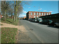
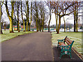
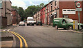
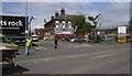
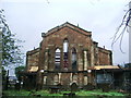
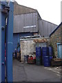
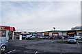
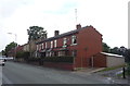
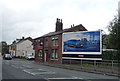
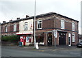
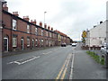
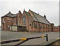
55 photos from this area
Area Information
Key information about the BL9 7QA including its size, population, and administrative classification.
- Area Type
- Postcode
- Area Size
- 9440 m²
- Population
- 1508
- Population Density
- 5937 people/km²
House Prices in BL9 7QA
40
Properties
£72,546
Average Sold Price
£25,000
Lowest Price
£120,000
Highest Price
Showing 40 properties
| Address | Type | Beds | Baths | Last Sale Price | Last Sale Date | |
|---|---|---|---|---|---|---|
| 7 Maxwell Street, Bury, BL9 7QA | house | - | - | £120,000 | Apr 2021 | |
| 9 Maxwell Street, Bury, BL9 7QA | Terraced | 2 | 1 | £115,000 | Sep 2020 | |
| 24 Maxwell Street, Bury, BL9 7QA | Terraced | 2 | 1 | £97,500 | Jan 2020 | |
| 5 Maxwell Street, Bury, BL9 7QA | Terraced | 2 | 1 | £82,500 | Jan 2016 | |
| 17 Maxwell Street, Bury, BL9 7QA | house | - | - | £73,500 | Jan 2010 | |
| 22 Maxwell Street, Bury, BL9 7QA | Terraced | - | - | £97,000 | Mar 2008 | |
| 21 Maxwell Street, Bury, BL9 7QA | house | - | - | £81,200 | Nov 2005 | |
| 8 Maxwell Street, Bury, BL9 7QA | house | - | - | £70,000 | Jul 2004 | |
| 6 Maxwell Street, Bury, BL9 7QA | Terraced | 3 | 1 | £61,950 | Jun 2004 | |
| 20 Maxwell Street, Bury, BL9 7QA | Terraced | - | - | £40,000 | Sep 2003 |
Page 1 of 4
Energy Efficiency in BL9 7QA
Amenities
Schools
| Rank | School | Type | Entry gender | Ages |
|---|
Explore more schools in this area
Go to Schools tabDemographics
Household Size
One person
most common
Accommodation Type
Houses
most common
Tenure
41
majority
Ethnic Group
White
most common
Religion
N/A
most common
Household Composition
N/A
most common
Age
47
median
Adults (30-64 years)
most common
Household Deprivation
N/A
with no deprivation
NS-SEC
15
in Lower managerial occupations
Explore more demographic insights in this area
Go to Demographics tabPlanning
Planning Constraints
- Flood RiskPremium
- Ramsar Wetland SitesPremium
- Area of Outstanding Natural BeautyPremium
- Protected Nature ReservePremium
- Protected WoodlandPremium