Area Overview for BL9 7DB
Photos of BL9 7DB

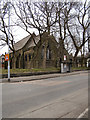
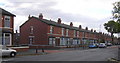
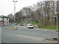
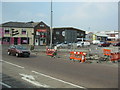
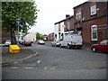
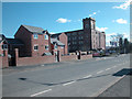
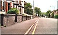
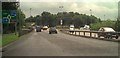
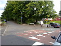
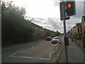
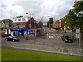
100 photos from this area
Area Information
Key information about the BL9 7DB including its size, population, and administrative classification.
- Area Type
- Postcode
- Area Size
- 9534 m²
- Population
- 1734
- Population Density
- 7871 people/km²
House Prices in BL9 7DB
33
Properties
£100,537
Average Sold Price
£30,000
Lowest Price
£162,500
Highest Price
Showing 33 properties
| Address | Type | Beds | Baths | Last Sale Price | Last Sale Date | |
|---|---|---|---|---|---|---|
| 383 Rochdale Road, Bury, BL9 7DB | house | - | - | £151,000 | Dec 2023 | |
| 361 Rochdale Road, Bury, BL9 7DB | Terraced | 2 | 1 | £162,500 | Mar 2023 | |
| 355 Rochdale Road, Bury, BL9 7DB | house | - | - | £148,000 | Feb 2021 | |
| 341 Rochdale Road, Bury, BL9 7DB | house | - | - | £75,000 | Dec 2020 | |
| 367 Rochdale Road, Bury, BL9 7DB | Terraced | 3 | - | £60,500 | Mar 2019 | |
| 379 Rochdale Road, Bury, BL9 7DB | house | - | - | £86,000 | Mar 2017 | |
| 335 Rochdale Road, Bury, BL9 7DB | Terraced | 3 | 2 | £99,000 | Aug 2015 | |
| 343 Rochdale Road, Bury, BL9 7DB | house | 2 | - | £75,000 | Jan 2015 | |
| 357 Rochdale Road, Bury, BL9 7DB | house | - | - | £87,950 | Jan 2013 | |
| 391 Rochdale Road, Bury, BL9 7DB | house | - | - | £155,000 | Oct 2009 |
Page 1 of 4
Energy Efficiency in BL9 7DB
Amenities
Schools
| Rank | School | Type | Entry gender | Ages |
|---|
Explore more schools in this area
Go to Schools tabDemographics
Household Size
Family (3-5 people)
most common
Accommodation Type
Houses
most common
Tenure
49
majority
Ethnic Group
White
most common
Religion
N/A
most common
Household Composition
N/A
most common
Age
47
median
Adults (30-64 years)
most common
Household Deprivation
N/A
with no deprivation
NS-SEC
19
in Lower managerial occupations
Explore more demographic insights in this area
Go to Demographics tabPlanning
Planning Constraints
- Flood RiskPremium
- Ramsar Wetland SitesPremium
- Area of Outstanding Natural BeautyPremium
- Protected Nature ReservePremium
- Protected WoodlandPremium