Area Overview for BL9 6SB
Photos of BL9 6SB
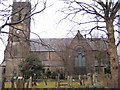
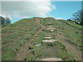
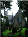
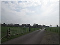
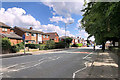
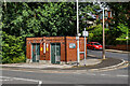
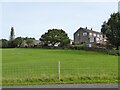
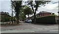
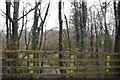
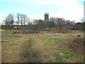
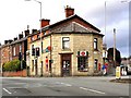
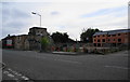
23 photos from this area
Area Information
Key information about the BL9 6SB including its size, population, and administrative classification.
- Area Type
- Postcode
- Area Size
- 5646 m²
- Population
- 1488
- Population Density
- 1113 people/km²
House Prices in BL9 6SB
15
Properties
£180,150
Average Sold Price
£64,000
Lowest Price
£292,000
Highest Price
Showing 15 properties
| Address | Type | Beds | Baths | Last Sale Price | Last Sale Date | |
|---|---|---|---|---|---|---|
| 129 Walmersley Old Road, Bury, BL9 6SB | Detached | 2 | 1 | £292,000 | Nov 2025 | |
| 147 Walmersley Old Road, Bury, BL9 6SB | house | - | - | £175,000 | Jun 2025 | |
| 125 Walmersley Old Road, Bury, BL9 6SB | Terraced | 4 | 2 | £260,000 | May 2022 | |
| 149 Walmersley Old Road, Bury, BL9 6SB | Detached | 3 | 1 | £147,000 | Feb 2022 | |
| 133 Walmersley Old Road, Bury, BL9 6SB | Semi-detached | 4 | 2 | £175,000 | Nov 2017 | |
| 143 Walmersley Old Road, Bury, BL9 6SB | Semi-detached | 2 | 1 | £131,000 | Oct 2016 | |
| 123 Walmersley Old Road, Bury, BL9 6SB | Detached | 2 | - | £190,000 | Sep 2007 | |
| 139 Walmersley Old Road, Bury, BL9 6SB | Terraced | - | - | £242,500 | Feb 2004 | |
| 137 Walmersley Old Road, Bury, BL9 6SB | house | 3 | - | £125,000 | Aug 2001 | |
| 145 Walmersley Old Road, Bury, BL9 6SB | Semi-detached | - | - | £64,000 | Aug 2001 |
Page 1 of 2
Energy Efficiency in BL9 6SB
Amenities
Schools
| Rank | School | Type | Entry gender | Ages |
|---|
Explore more schools in this area
Go to Schools tabDemographics
Household Size
Two person
most common
Accommodation Type
Houses
most common
Tenure
86
majority
Ethnic Group
White
most common
Religion
N/A
most common
Household Composition
N/A
most common
Age
47
median
Adults (30-64 years)
most common
Household Deprivation
N/A
with no deprivation
NS-SEC
41
in Lower managerial occupations
Explore more demographic insights in this area
Go to Demographics tabPlanning
Planning Constraints
- Flood RiskPremium
- Ramsar Wetland SitesPremium
- Area of Outstanding Natural BeautyPremium
- Protected Nature ReservePremium
- Protected WoodlandPremium