Area Overview for BL9 5JX
Photos of BL9 5JX
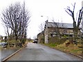
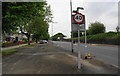
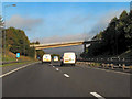
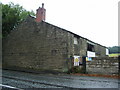
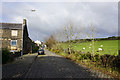
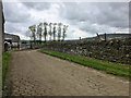
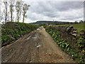
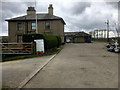
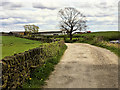
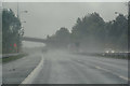
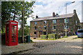
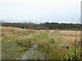
33 photos from this area
Area Information
Key information about the BL9 5JX including its size, population, and administrative classification.
- Area Type
- Postcode
- Area Size
- 4.3 hectares
- Population
- 1472
- Population Density
- 564 people/km²
House Prices in BL9 5JX
16
Properties
£146,795
Average Sold Price
£38,500
Lowest Price
£225,000
Highest Price
Showing 16 properties
| Address | Type | Beds | Baths | Last Sale Price | Last Sale Date | |
|---|---|---|---|---|---|---|
| 760 Walmersley Road, Bury, BL9 5JX | Semi-detached | 3 | 1 | £225,000 | Aug 2024 | |
| 742 Walmersley Road, Bury, BL9 5JX | Semi-detached | 3 | 1 | £200,000 | Oct 2021 | |
| 768 Walmersley Road, Bury, BL9 5JX | house | - | - | £190,000 | Jun 2021 | |
| 764 Walmersley Road, Bury, BL9 5JX | Semi-detached | 3 | - | £137,000 | Jan 2019 | |
| 766 Walmersley Road, Bury, BL9 5JX | Semi-detached | 3 | - | £124,000 | Mar 2014 | |
| 756 Walmersley Road, Bury, BL9 5JX | Semi-detached | - | - | £130,000 | Aug 2008 | |
| 762 Walmersley Road, Bury, BL9 5JX | house | - | - | £128,500 | Feb 2008 | |
| 748 Walmersley Road, Bury, BL9 5JX | house | - | - | £145,000 | Aug 2006 | |
| 752 Walmersley Road, Bury, BL9 5JX | Semi-detached | - | - | £149,950 | Sep 2004 | |
| 770 Walmersley Road, Bury, BL9 5JX | Semi-detached | - | - | £38,500 | Feb 1996 |
Page 1 of 2
Energy Efficiency in BL9 5JX
Amenities
Schools
| Rank | School | Type | Entry gender | Ages |
|---|
Explore more schools in this area
Go to Schools tabDemographics
Household Size
Two person
most common
Accommodation Type
Houses
most common
Tenure
76
majority
Ethnic Group
White
most common
Religion
N/A
most common
Household Composition
N/A
most common
Age
47
median
Adults (30-64 years)
most common
Household Deprivation
N/A
with no deprivation
NS-SEC
36
in Lower managerial occupations
Explore more demographic insights in this area
Go to Demographics tabPlanning
Planning Constraints
- Flood RiskPremium
- Ramsar Wetland SitesPremium
- Area of Outstanding Natural BeautyPremium
- Protected Nature ReservePremium
- Protected WoodlandPremium