Area Overview for BL9 5DN
Photos of BL9 5DN
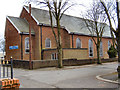
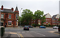
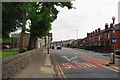
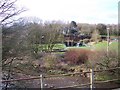

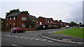
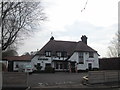
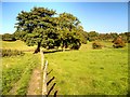
62 photos from this area
Area Information
Key information about the BL9 5DN including its size, population, and administrative classification.
- Area Type
- Postcode
- Area Size
- 5.5 hectares
- Population
- 1857
- Population Density
- 5243 people/km²
House Prices in BL9 5DN
38
Properties
£215,930
Average Sold Price
£52,500
Lowest Price
£405,000
Highest Price
Showing 38 properties
| Address | Type | Beds | Baths | Last Sale Price | Last Sale Date | |
|---|---|---|---|---|---|---|
| 3 West Drive, Bury, BL9 5DN | Semi-detached | 3 | 2 | £325,000 | Jan 2025 | |
| 5 West Drive, Bury, BL9 5DN | Semi-detached | 3 | 1 | £347,500 | Feb 2022 | |
| 24 West Drive, Bury, BL9 5DN | Semi-detached | 4 | - | £390,000 | Jan 2021 | |
| 47 West Drive, Bury, BL9 5DN | Semi-detached | 3 | 2 | £250,000 | Jun 2019 | |
| 16 West Drive, Bury, BL9 5DN | Semi-detached | 3 | 1 | £253,000 | Nov 2018 | |
| 4 West Drive, Bury, BL9 5DN | Semi-detached | 3 | 2 | £233,000 | Oct 2018 | |
| 27 West Drive, Bury, BL9 5DN | Semi-detached | 3 | 2 | £198,000 | Mar 2018 | |
| 20 West Drive, Bury, BL9 5DN | Semi-detached | 4 | 1 | £256,000 | Nov 2017 | |
| 41 West Drive, Bury, BL9 5DN | house | 3 | - | £247,950 | Aug 2017 | |
| 45 West Drive, Bury, BL9 5DN | Semi-detached | 3 | 2 | £260,000 | Sep 2016 |
Page 1 of 4
Energy Efficiency in BL9 5DN
Amenities
Schools
| Rank | School | Type | Entry gender | Ages |
|---|
Explore more schools in this area
Go to Schools tabDemographics
Household Size
Family (3-5 people)
most common
Accommodation Type
Houses
most common
Tenure
71
majority
Ethnic Group
White
most common
Religion
N/A
most common
Household Composition
N/A
most common
Age
47
median
Adults (30-64 years)
most common
Household Deprivation
N/A
with no deprivation
NS-SEC
28
in Lower managerial occupations
Explore more demographic insights in this area
Go to Demographics tabPlanning
Planning Constraints
- Flood RiskPremium
- Ramsar Wetland SitesPremium
- Area of Outstanding Natural BeautyPremium
- Protected Nature ReservePremium
- Protected WoodlandPremium