Area Overview for BL9 0TH
Photos of BL9 0TH
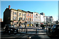
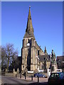
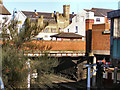
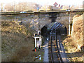
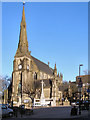
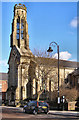
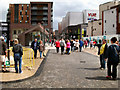
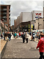
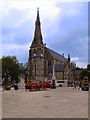
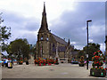
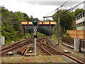
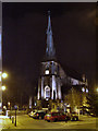
100 photos from this area
Area Information
Key information about the BL9 0TH including its size, population, and administrative classification.
- Area Type
- Postcode
- Area Size
- 8159 m²
- Population
- 1862
- Population Density
- 2710 people/km²
House Prices in BL9 0TH
29
Properties
£161,318
Average Sold Price
£24,000
Lowest Price
£310,000
Highest Price
Showing 29 properties
| Address | Type | Beds | Baths | Last Sale Price | Last Sale Date | |
|---|---|---|---|---|---|---|
| 128 Manchester Road, Bury, BL9 0TH | Terraced | 2 | 1 | £129,500 | Aug 2025 | |
| 102 Manchester Road, Bury, BL9 0TH | house | 4 | 2 | £290,000 | Aug 2023 | |
| 98 Manchester Road, Bury, BL9 0TH | Terraced | 3 | 2 | £222,500 | Mar 2023 | |
| 124 Manchester Road, Bury, BL9 0TH | house | - | - | £100,000 | Dec 2021 | |
| 108 Manchester Road, Bury, BL9 0TH | Terraced | - | - | £215,000 | Oct 2021 | |
| 96 Manchester Road, Bury, BL9 0TH | Terraced | 4 | - | £180,000 | Jul 2018 | |
| 112 Manchester Road, Bury, BL9 0TH | Semi-detached | 4 | 1 | £310,000 | Nov 2017 | |
| 104 Manchester Road, Bury, BL9 0TH | house | 5 | - | £150,000 | Dec 2010 | |
| 110 Manchester Road, Bury, BL9 0TH | Terraced | - | - | £70,000 | Apr 2006 | |
| 130 Manchester Road, Bury, BL9 0TH | Terraced | - | - | £83,500 | Mar 2006 |
Page 1 of 3
Energy Efficiency in BL9 0TH
Amenities
Schools
| Rank | School | Type | Entry gender | Ages |
|---|
Explore more schools in this area
Go to Schools tabDemographics
Household Size
One person
most common
Accommodation Type
Houses
most common
Tenure
58
majority
Ethnic Group
White
most common
Religion
N/A
most common
Household Composition
N/A
most common
Age
47
median
Adults (30-64 years)
most common
Household Deprivation
N/A
with no deprivation
NS-SEC
22
in Lower managerial occupations
Explore more demographic insights in this area
Go to Demographics tabPlanning
Planning Constraints
- Flood RiskPremium
- Ramsar Wetland SitesPremium
- Area of Outstanding Natural BeautyPremium
- Protected Nature ReservePremium
- Protected WoodlandPremium