Area Overview for BL8 2QB
Photos of BL8 2QB
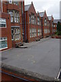
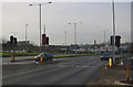
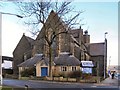
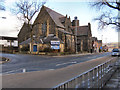
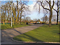
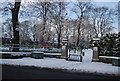
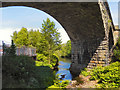
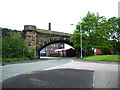
100 photos from this area
Area Information
Key information about the BL8 2QB including its size, population, and administrative classification.
- Area Type
- Postcode
- Area Size
- 9558 m²
- Population
- 1871
- Population Density
- 1968 people/km²
House Prices in BL8 2QB
21
Properties
£124,189
Average Sold Price
£36,000
Lowest Price
£175,000
Highest Price
Showing 21 properties
| Address | Type | Beds | Baths | Last Sale Price | Last Sale Date | |
|---|---|---|---|---|---|---|
| 48 Ainsworth Road, Bury, BL8 2QB | Terraced | 2 | 1 | £169,995 | Aug 2025 | |
| 64 Ainsworth Road, Bury, BL8 2QB | Terraced | 2 | 1 | £155,000 | Jun 2023 | |
| 66 Ainsworth Road, Bury, BL8 2QB | Retail | 3 | 2 | £159,950 | Aug 2022 | |
| 42 Ainsworth Road, Bury, BL8 2QB | house | - | - | £165,000 | Jul 2022 | |
| 46 Ainsworth Road, Bury, BL8 2QB | Terraced | 2 | 1 | £153,500 | May 2022 | |
| 58 Ainsworth Road, Bury, BL8 2QB | Terraced | 2 | 1 | £85,000 | Sep 2020 | |
| 54 Ainsworth Road, Bury, BL8 2QB | Terraced | 2 | 1 | £115,888 | Nov 2019 | |
| 60 Ainsworth Road, Bury, BL8 2QB | Terraced | 2 | 1 | £80,000 | Jun 2019 | |
| 68 Ainsworth Road, Bury, BL8 2QB | Terraced | 2 | - | £103,000 | Mar 2019 | |
| 56 Ainsworth Road, Bury, BL8 2QB | Terraced | 7 | 3 | £175,000 | Feb 2019 |
Page 1 of 3
Energy Efficiency in BL8 2QB
Amenities
Schools
| Rank | School | Type | Entry gender | Ages |
|---|
Explore more schools in this area
Go to Schools tabDemographics
Household Size
One person
most common
Accommodation Type
Houses
most common
Tenure
52
majority
Ethnic Group
White
most common
Religion
N/A
most common
Household Composition
N/A
most common
Age
47
median
Adults (30-64 years)
most common
Household Deprivation
N/A
with no deprivation
NS-SEC
24
in Lower managerial occupations
Explore more demographic insights in this area
Go to Demographics tabPlanning
Planning Constraints
- Flood RiskPremium
- Ramsar Wetland SitesPremium
- Area of Outstanding Natural BeautyPremium
- Protected Nature ReservePremium
- Protected WoodlandPremium