Area Overview for BL7 9UT
Photos of BL7 9UT
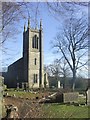
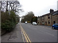
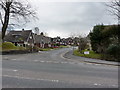
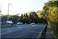
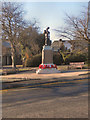
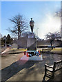
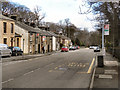
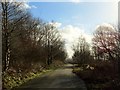
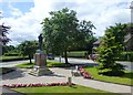
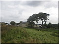
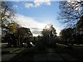
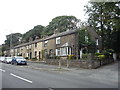
48 photos from this area
Area Information
Key information about the BL7 9UT including its size, population, and administrative classification.
- Area Type
- Postcode
- Area Size
- 6851 m²
- Population
- 1468
- Population Density
- 3130 people/km²
House Prices in BL7 9UT
14
Properties
£225,617
Average Sold Price
£605
Lowest Price
£500,000
Highest Price
Showing 14 properties
| Address | Type | Beds | Baths | Last Sale Price | Last Sale Date | |
|---|---|---|---|---|---|---|
| 201 Cox Green Road, Egerton, Bolton, BL7 9UT | Bungalow | - | - | £500,000 | Oct 2022 | |
| 205 Cox Green Road, Egerton, Bolton, BL7 9UT | Detached | - | - | £605 | Jul 2021 | |
| 211 Cox Green Road, Egerton, Bolton, BL7 9UT | Bungalow | 2 | - | £235,000 | Dec 2018 | |
| 223 Cox Green Road, Egerton, Bolton, BL7 9UT | Semi-detached | 4 | 2 | £247,000 | Feb 2018 | |
| 209 Cox Green Road, Egerton, Bolton, BL7 9UT | Bungalow | 2 | 1 | £230,000 | Feb 2016 | |
| 213 Cox Green Road, Egerton, Bolton, BL7 9UT | Bungalow | - | - | £234,000 | Jul 2011 | |
| 207 Cox Green Road, Egerton, Bolton, BL7 9UT | Detached | - | - | £209,000 | Jun 2007 | |
| 229 Cox Green Road, Egerton, Bolton, BL7 9UT | Detached | - | - | £249,950 | Dec 2006 | |
| 225 Cox Green Road, Egerton, Bolton, BL7 9UT | Semi-detached | - | - | £125,000 | Apr 2003 | |
| Clavaya, 217 Cox Green Road, Egerton, Bolton, BL7 9UT | house | - | - | - | - |
Page 1 of 2
Energy Efficiency in BL7 9UT
Amenities
Schools
| Rank | School | Type | Entry gender | Ages |
|---|
Explore more schools in this area
Go to Schools tabDemographics
Household Size
Two person
most common
Accommodation Type
Houses
most common
Tenure
93
majority
Ethnic Group
White
most common
Religion
N/A
most common
Household Composition
N/A
most common
Age
47
median
Adults (30-64 years)
most common
Household Deprivation
N/A
with no deprivation
NS-SEC
47
in Lower managerial occupations
Explore more demographic insights in this area
Go to Demographics tabPlanning
Planning Constraints
- Flood RiskPremium
- Ramsar Wetland SitesPremium
- Area of Outstanding Natural BeautyPremium
- Protected Nature ReservePremium
- Protected WoodlandPremium