Area Overview for BL7 0HR
Photos of BL7 0HR
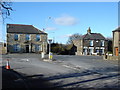
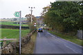
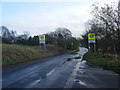
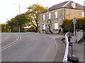
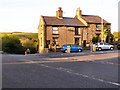
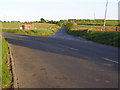
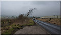
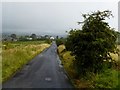
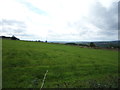
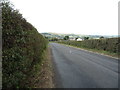
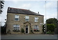
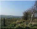
24 photos from this area
Area Information
Key information about the BL7 0HR including its size, population, and administrative classification.
- Area Type
- Postcode
- Area Size
- 24.3 hectares
- Population
- 1453
- Population Density
- 256 people/km²
House Prices in BL7 0HR
12
Properties
£196,170
Average Sold Price
£81,950
Lowest Price
£291,400
Highest Price
Showing 12 properties
| Address | Type | Beds | Baths | Last Sale Price | Last Sale Date | |
|---|---|---|---|---|---|---|
| 837 Bradshaw Road, Bolton, BL7 0HR | house | - | - | £291,400 | Apr 2021 | |
| Clara View, 874-999 Bradshaw Road, Bolton, BL7 0HR | house | - | - | £150,000 | Jan 2017 | |
| 809 Bradshaw Road, Bolton, BL7 0HR | Semi-detached | 2 | 1 | £180,000 | Feb 2016 | |
| New House, Bradshaw Road, Bolton, BL7 0HR | house | 3 | - | £277,500 | Oct 2014 | |
| 835 Bradshaw Road, Bolton, BL7 0HR | Terraced | 2 | 1 | £81,950 | Aug 2000 | |
| 857 Bradshaw Road, Bolton, BL7 0HR | Terraced | 2 | - | - | - | |
| May View, 874A Bradshaw Road, Bolton, BL7 0HR | Detached | 4 | - | - | - | |
| 811-813 Bradshaw Road, Bolton, BL7 0HR | Semi-detached | - | - | - | - | |
| Trough Field Cottage, 833 Bradshaw Road, Bolton, BL7 0HR | Terraced | - | - | - | - | |
| Darchini Patli Ltd, Soho Spice, Bradshaw Road, Bolton, BL7 0HR | Retail | - | - | - | - |
Page 1 of 2
Energy Efficiency in BL7 0HR
Amenities
Schools
| Rank | School | Type | Entry gender | Ages |
|---|
Explore more schools in this area
Go to Schools tabDemographics
Household Size
Two person
most common
Accommodation Type
Houses
most common
Tenure
91
majority
Ethnic Group
White
most common
Religion
N/A
most common
Household Composition
N/A
most common
Age
47
median
Adults (30-64 years)
most common
Household Deprivation
N/A
with no deprivation
NS-SEC
44
in Lower managerial occupations
Explore more demographic insights in this area
Go to Demographics tabPlanning
Planning Constraints
- Flood RiskPremium
- Ramsar Wetland SitesPremium
- Area of Outstanding Natural BeautyPremium
- Protected Nature ReservePremium
- Protected WoodlandPremium