Area Overview for BL6 6BJ
Photos of BL6 6BJ
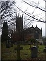
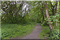
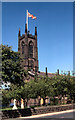
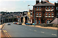
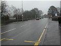
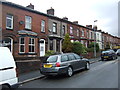
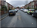
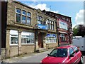
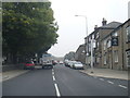
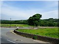
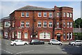
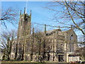
45 photos from this area
Area Information
Key information about the BL6 6BJ including its size, population, and administrative classification.
- Area Type
- Postcode
- Area Size
- 4116 m²
- Population
- 1476
- Population Density
- 259 people/km²
House Prices in BL6 6BJ
20
Properties
£162,468
Average Sold Price
£53,500
Lowest Price
£267,500
Highest Price
Showing 20 properties
| Address | Type | Beds | Baths | Last Sale Price | Last Sale Date | |
|---|---|---|---|---|---|---|
| 4 Nelson Street, Horwich, Bolton, BL6 6BJ | Cottage | 3 | 1 | £240,000 | Oct 2023 | |
| 9 Nelson Street, Horwich, Bolton, BL6 6BJ | house | 3 | 1 | £170,000 | Aug 2022 | |
| 6 Nelson Street, Horwich, Bolton, BL6 6BJ | Terraced | 5 | 2 | £267,500 | Sep 2021 | |
| 3 Nelson Street, Horwich, Bolton, BL6 6BJ | house | - | 1 | £242,000 | Jul 2021 | |
| 18 Nelson Street, Horwich, Bolton, BL6 6BJ | Terraced | 3 | 2 | £220,000 | Dec 2020 | |
| 12 Nelson Street, Horwich, Bolton, BL6 6BJ | Cottage | 3 | 2 | £120,000 | Dec 2019 | |
| 4A Nelson Street, Horwich, Bolton, BL6 6BJ | Cottage | 3 | 1 | £189,995 | Mar 2019 | |
| 14 Nelson Street, Horwich, Bolton, BL6 6BJ | Cottage | 3 | 1 | £150,000 | Mar 2018 | |
| 16 Nelson Street, Horwich, Bolton, BL6 6BJ | Retail | 3 | 2 | £209,000 | Sep 2017 | |
| 17 Nelson Street, Horwich, Bolton, BL6 6BJ | house | - | - | £138,500 | Mar 2015 |
Page 1 of 2
Energy Efficiency in BL6 6BJ
Amenities
Schools
| Rank | School | Type | Entry gender | Ages |
|---|
Explore more schools in this area
Go to Schools tabDemographics
Household Size
Two person
most common
Accommodation Type
Houses
most common
Tenure
88
majority
Ethnic Group
White
most common
Religion
N/A
most common
Household Composition
N/A
most common
Age
47
median
Adults (30-64 years)
most common
Household Deprivation
N/A
with no deprivation
NS-SEC
52
in Lower managerial occupations
Explore more demographic insights in this area
Go to Demographics tabPlanning
Planning Constraints
- Flood RiskPremium
- Ramsar Wetland SitesPremium
- Area of Outstanding Natural BeautyPremium
- Protected Nature ReservePremium
- Protected WoodlandPremium