Area Overview for BL6 5BF
Photos of BL6 5BF
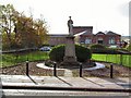
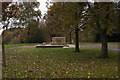
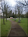
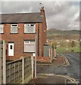
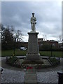
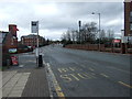
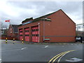
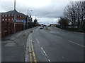


75 photos from this area
Area Information
Key information about the BL6 5BF including its size, population, and administrative classification.
- Area Type
- Postcode
- Area Size
- 5342 m²
- Population
- 1349
- Population Density
- 5760 people/km²
House Prices in BL6 5BF
45
Properties
£167,647
Average Sold Price
£105,000
Lowest Price
£225,000
Highest Price
Showing 45 properties
| Address | Type | Beds | Baths | Last Sale Price | Last Sale Date | |
|---|---|---|---|---|---|---|
| 4, Rockhaven Court, Chorley New Road, Horwich, Bolton, BL6 5BF | Flat | 1 | 1 | £165,000 | Jun 2025 | |
| 27, Rockhaven Court, Chorley New Road, Horwich, Bolton, BL6 5BF | Flat | - | - | £205,000 | Mar 2025 | |
| 35, Rockhaven Court, Chorley New Road, Horwich, Bolton, BL6 5BF | Detached | 1 | 1 | £149,000 | Sep 2024 | |
| 9, Rockhaven Court, Chorley New Road, Horwich, Bolton, BL6 5BF | Flat | 2 | 1 | £220,000 | Sep 2024 | |
| 10, Rockhaven Court, Chorley New Road, Horwich, Bolton, BL6 5BF | Flat | - | - | £225,000 | Jul 2024 | |
| 42, Rockhaven Court, Chorley New Road, Horwich, Bolton, BL6 5BF | Flat | 1 | 1 | £210,000 | May 2024 | |
| 33, Rockhaven Court, Chorley New Road, Horwich, Bolton, BL6 5BF | Flat | - | - | £150,000 | Mar 2024 | |
| 23, Rockhaven Court, Chorley New Road, Horwich, Bolton, BL6 5BF | Flat | - | - | £210,000 | Mar 2024 | |
| 39, Rockhaven Court, Chorley New Road, Horwich, Bolton, BL6 5BF | Flat | - | - | £210,000 | Oct 2023 | |
| 32, Rockhaven Court, Chorley New Road, Horwich, Bolton, BL6 5BF | Flat | 2 | 1 | £200,000 | Jul 2023 |
Page 1 of 5
Energy Efficiency in BL6 5BF
Amenities
Schools
| Rank | School | Type | Entry gender | Ages |
|---|
Explore more schools in this area
Go to Schools tabDemographics
Household Size
One person
most common
Accommodation Type
Houses
most common
Tenure
71
majority
Ethnic Group
White
most common
Religion
N/A
most common
Household Composition
N/A
most common
Age
47
median
Adults (30-64 years)
most common
Household Deprivation
N/A
with no deprivation
NS-SEC
35
in Lower managerial occupations
Explore more demographic insights in this area
Go to Demographics tabPlanning
Planning Constraints
- Flood RiskPremium
- Ramsar Wetland SitesPremium
- Area of Outstanding Natural BeautyPremium
- Protected Nature ReservePremium
- Protected WoodlandPremium