Area Overview for BL6 5AZ
Photos of BL6 5AZ
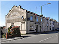
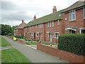
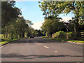
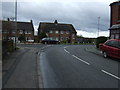
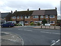
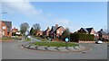
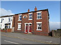

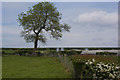
17 photos from this area
Area Information
Key information about the BL6 5AZ including its size, population, and administrative classification.
- Area Type
- Postcode
- Area Size
- 1.1 hectares
- Population
- 2288
- Population Density
- 367 people/km²
House Prices in BL6 5AZ
19
Properties
£168,593
Average Sold Price
£102,500
Lowest Price
£237,500
Highest Price
Showing 19 properties
| Address | Type | Beds | Baths | Last Sale Price | Last Sale Date | |
|---|---|---|---|---|---|---|
| 261 Manchester Road, Blackrod, Bolton, BL6 5AZ | Semi-detached | 2 | 1 | £160,000 | Aug 2024 | |
| 270 Manchester Road, Blackrod, Bolton, BL6 5AZ | Semi-detached | 3 | - | £210,000 | Sep 2021 | |
| 263 Manchester Road, Blackrod, Bolton, BL6 5AZ | Terraced | 2 | 1 | £170,000 | Mar 2021 | |
| 268 Manchester Road, Blackrod, Bolton, BL6 5AZ | Semi-detached | 2 | 1 | £135,000 | Mar 2021 | |
| 262 Manchester Road, Blackrod, Bolton, BL6 5AZ | Bungalow | 3 | 1 | £185,000 | Aug 2019 | |
| 257 Manchester Road, Blackrod, Bolton, BL6 5AZ | Bungalow | 2 | 2 | £220,000 | May 2019 | |
| 278 Manchester Road, Blackrod, Bolton, BL6 5AZ | Detached | 4 | 2 | £220,000 | Sep 2018 | |
| 259 Manchester Road, Blackrod, Bolton, BL6 5AZ | Semi-detached | 3 | 1 | £145,000 | Jul 2017 | |
| 265 Manchester Road, Blackrod, Bolton, BL6 5AZ | Terraced | 2 | 1 | £112,400 | Jun 2015 | |
| 274 Manchester Road, Blackrod, Bolton, BL6 5AZ | Detached | 4 | 2 | £237,500 | Oct 2014 |
Page 1 of 2
Energy Efficiency in BL6 5AZ
Amenities
Schools
| Rank | School | Type | Entry gender | Ages |
|---|
Explore more schools in this area
Go to Schools tabDemographics
Household Size
Family (3-5 people)
most common
Accommodation Type
Houses
most common
Tenure
78
majority
Ethnic Group
White
most common
Religion
N/A
most common
Household Composition
N/A
most common
Age
47
median
Adults (30-64 years)
most common
Household Deprivation
N/A
with no deprivation
NS-SEC
41
in Lower managerial occupations
Explore more demographic insights in this area
Go to Demographics tabPlanning
Planning Constraints
- Flood RiskPremium
- Ramsar Wetland SitesPremium
- Area of Outstanding Natural BeautyPremium
- Protected Nature ReservePremium
- Protected WoodlandPremium