Area Overview for BL6 4JR
Photos of BL6 4JR
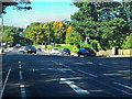
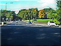
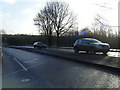
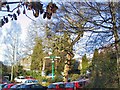
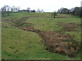
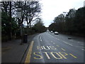
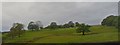
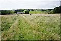
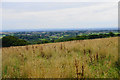
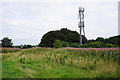
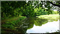
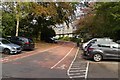
25 photos from this area
Area Information
Key information about the BL6 4JR including its size, population, and administrative classification.
- Area Type
- Postcode
- Area Size
- 3.2 hectares
- Population
- 1573
- Population Density
- 1795 people/km²
House Prices in BL6 4JR
23
Properties
£631,964
Average Sold Price
£283,000
Lowest Price
£1,225,000
Highest Price
Showing 23 properties
| Address | Type | Beds | Baths | Last Sale Price | Last Sale Date | |
|---|---|---|---|---|---|---|
| 5 Lostock Junction Lane, Lostock, Bolton, BL6 4JR | Detached | 4 | 3 | £1,225,000 | Aug 2023 | |
| Beech Hollow, 14 Lostock Junction Lane, Lostock, Bolton, BL6 4JR | Detached | 4 | 3 | £735,000 | Aug 2022 | |
| 15 Lostock Junction Lane, Lostock, Bolton, BL6 4JR | house | - | - | £830,000 | Jan 2022 | |
| Holme Lea, 9 Lostock Junction Lane, Lostock, Bolton, BL6 4JR | Semi-detached | 5 | 2 | £685,000 | Jun 2021 | |
| 18 Lostock Junction Lane, Lostock, Bolton, BL6 4JR | Detached | 5 | 4 | £745,000 | Jun 2021 | |
| Copperfield, 21 Lostock Junction Lane, Lostock, Bolton, BL6 4JR | Detached | 3 | - | £430,000 | May 2016 | |
| 22 Lostock Junction Lane, Lostock, Bolton, BL6 4JR | house | 5 | - | £790,000 | Nov 2011 | |
| 19 Lostock Junction Lane, Lostock, Bolton, BL6 4JR | Detached | 5 | 5 | £410,000 | Feb 2010 | |
| Glen Holme, 11 Lostock Junction Lane, Lostock, Bolton, BL6 4JR | house | - | - | £470,000 | Nov 2009 | |
| 27 Lostock Junction Lane, Lostock, Bolton, BL6 4JR | Detached | 4 | 2 | £372,500 | Apr 2009 |
Page 1 of 3
Energy Efficiency in BL6 4JR
Amenities
Schools
| Rank | School | Type | Entry gender | Ages |
|---|
Explore more schools in this area
Go to Schools tabDemographics
Household Size
Two person
most common
Accommodation Type
Houses
most common
Tenure
93
majority
Ethnic Group
White
most common
Religion
N/A
most common
Household Composition
N/A
most common
Age
47
median
Adults (30-64 years)
most common
Household Deprivation
N/A
with no deprivation
NS-SEC
56
in Lower managerial occupations
Explore more demographic insights in this area
Go to Demographics tabPlanning
Planning Constraints
- Flood RiskPremium
- Ramsar Wetland SitesPremium
- Area of Outstanding Natural BeautyPremium
- Protected Nature ReservePremium
- Protected WoodlandPremium