Area Overview for BL6 4JA
Photos of BL6 4JA
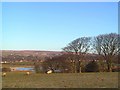
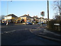
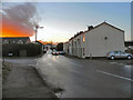
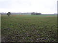
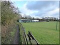
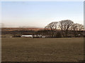
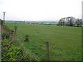
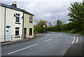
21 photos from this area
Area Information
Key information about the BL6 4JA including its size, population, and administrative classification.
- Area Type
- Postcode
- Area Size
- 2.1 hectares
- Population
- 1421
- Population Density
- 1057 people/km²
House Prices in BL6 4JA
12
Properties
£279,541
Average Sold Price
£168,500
Lowest Price
£450,000
Highest Price
Showing 12 properties
| Address | Type | Beds | Baths | Last Sale Price | Last Sale Date | |
|---|---|---|---|---|---|---|
| 12 Chadbury Close, Lostock, Bolton, BL6 4JA | Detached | 4 | 4 | £450,000 | Sep 2025 | |
| 6 Chadbury Close, Lostock, Bolton, BL6 4JA | Detached | 4 | 3 | £415,000 | Sep 2019 | |
| 1 Chadbury Close, Lostock, Bolton, BL6 4JA | Detached | 4 | - | £345,000 | Sep 2018 | |
| 5 Chadbury Close, Lostock, Bolton, BL6 4JA | Detached | 5 | 3 | £357,000 | Apr 2018 | |
| 3 Chadbury Close, Lostock, Bolton, BL6 4JA | house | - | - | £355,000 | Sep 2010 | |
| 10 Chadbury Close, Lostock, Bolton, BL6 4JA | Detached | 4 | 3 | £365,000 | Mar 2010 | |
| 2 Chadbury Close, Lostock, Bolton, BL6 4JA | Detached | 4 | 4 | £170,000 | Jan 2009 | |
| 9 Chadbury Close, Lostock, Bolton, BL6 4JA | Detached | - | - | £172,500 | Apr 2001 | |
| 8 Chadbury Close, Lostock, Bolton, BL6 4JA | Detached | - | - | £172,995 | Mar 2001 | |
| 11 Chadbury Close, Lostock, Bolton, BL6 4JA | house | - | - | £168,500 | Nov 2000 |
Page 1 of 2
Energy Efficiency in BL6 4JA
Amenities
Schools
| Rank | School | Type | Entry gender | Ages |
|---|
Explore more schools in this area
Go to Schools tabDemographics
Household Size
Two person
most common
Accommodation Type
Houses
most common
Tenure
88
majority
Ethnic Group
White
most common
Religion
N/A
most common
Household Composition
N/A
most common
Age
47
median
Adults (30-64 years)
most common
Household Deprivation
N/A
with no deprivation
NS-SEC
46
in Lower managerial occupations
Explore more demographic insights in this area
Go to Demographics tabPlanning
Planning Constraints
- Flood RiskPremium
- Ramsar Wetland SitesPremium
- Area of Outstanding Natural BeautyPremium
- Protected Nature ReservePremium
- Protected WoodlandPremium