Area Overview for BL5 3DY
Photos of BL5 3DY
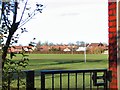
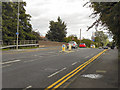
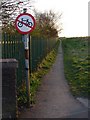
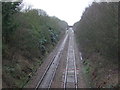
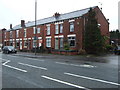
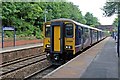
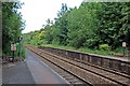
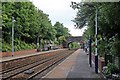
40 photos from this area
Area Information
Key information about the BL5 3DY including its size, population, and administrative classification.
- Area Type
- Postcode
- Area Size
- 6959 m²
- Population
- 1925
- Population Density
- 3855 people/km²
House Prices in BL5 3DY
34
Properties
£86,373
Average Sold Price
£20,000
Lowest Price
£147,500
Highest Price
Showing 34 properties
| Address | Type | Beds | Baths | Last Sale Price | Last Sale Date | |
|---|---|---|---|---|---|---|
| 93 Bolton Road, Westhoughton, Bolton, BL5 3DY | Terraced | 2 | 1 | £142,000 | Sep 2023 | |
| 105 Bolton Road, Westhoughton, Bolton, BL5 3DY | Terraced | 2 | 1 | £123,000 | May 2022 | |
| 125 Bolton Road, Westhoughton, Bolton, BL5 3DY | Terraced | 2 | 1 | £90,000 | Apr 2022 | |
| 129 Bolton Road, Westhoughton, Bolton, BL5 3DY | house | 2 | 1 | £125,000 | Feb 2022 | |
| 95 Bolton Road, Westhoughton, Bolton, BL5 3DY | Terraced | 2 | 1 | £145,000 | Jan 2021 | |
| 99 Bolton Road, Westhoughton, Bolton, BL5 3DY | Semi-detached | 6 | 2 | £147,500 | Feb 2020 | |
| 145 Bolton Road, Westhoughton, Bolton, BL5 3DY | Terraced | 2 | 1 | £75,500 | Oct 2019 | |
| 91 Bolton Road, Westhoughton, Bolton, BL5 3DY | Terraced | 2 | 1 | £78,000 | Jul 2019 | |
| 79 Bolton Road, Westhoughton, Bolton, BL5 3DY | Terraced | 3 | 2 | £138,000 | Aug 2018 | |
| 81 Bolton Road, Westhoughton, Bolton, BL5 3DY | Terraced | 3 | 1 | £115,000 | Aug 2018 |
Page 1 of 4
Energy Efficiency in BL5 3DY
Amenities
Schools
| Rank | School | Type | Entry gender | Ages |
|---|
Explore more schools in this area
Go to Schools tabDemographics
Household Size
Two person
most common
Accommodation Type
Houses
most common
Tenure
71
majority
Ethnic Group
White
most common
Religion
N/A
most common
Household Composition
N/A
most common
Age
47
median
Adults (30-64 years)
most common
Household Deprivation
N/A
with no deprivation
NS-SEC
32
in Lower managerial occupations
Explore more demographic insights in this area
Go to Demographics tabPlanning
Planning Constraints
- Flood RiskPremium
- Ramsar Wetland SitesPremium
- Area of Outstanding Natural BeautyPremium
- Protected Nature ReservePremium
- Protected WoodlandPremium