Area Overview for BL5 2RZ
Photos of BL5 2RZ
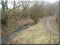
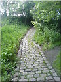
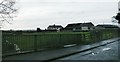
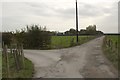
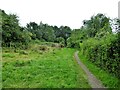
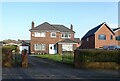
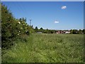
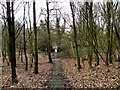
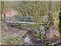
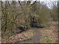
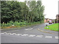
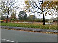
22 photos from this area
Area Information
Key information about the BL5 2RZ including its size, population, and administrative classification.
- Area Type
- Postcode
- Area Size
- 1.9 hectares
- Population
- 1442
- Population Density
- 1334 people/km²
House Prices in BL5 2RZ
18
Properties
£251,688
Average Sold Price
£30,000
Lowest Price
£560,000
Highest Price
Showing 18 properties
| Address | Type | Beds | Baths | Last Sale Price | Last Sale Date | |
|---|---|---|---|---|---|---|
| 122 Parkway, Westhoughton, Bolton, BL5 2RZ | Detached | 4 | 3 | £560,000 | Jul 2025 | |
| 110 Parkway, Westhoughton, Bolton, BL5 2RZ | Detached | 4 | 2 | £450,000 | Jan 2023 | |
| 124 Parkway, Westhoughton, Bolton, BL5 2RZ | Detached | 4 | 1 | £337,500 | Jul 2020 | |
| 106 Parkway, Westhoughton, Bolton, BL5 2RZ | Detached | 4 | - | £320,000 | Jan 2020 | |
| 118 Parkway, Westhoughton, Bolton, BL5 2RZ | Detached | 4 | 3 | £335,000 | Jan 2019 | |
| 102 Parkway, Westhoughton, Bolton, BL5 2RZ | Detached | 4 | 2 | £285,000 | Aug 2015 | |
| 41 Parkway, Westhoughton, Bolton, BL5 2RZ | Detached | 5 | 3 | £230,000 | May 2014 | |
| 114 Parkway, Westhoughton, Bolton, BL5 2RZ | Detached | 4 | 2 | £247,500 | Nov 2013 | |
| 120 Parkway, Westhoughton, Bolton, BL5 2RZ | house | 4 | - | £275,000 | Apr 2012 | |
| 116 Parkway, Westhoughton, Bolton, BL5 2RZ | house | - | - | £290,000 | Dec 2009 |
Page 1 of 2
Energy Efficiency in BL5 2RZ
Amenities
Schools
| Rank | School | Type | Entry gender | Ages |
|---|
Explore more schools in this area
Go to Schools tabDemographics
Household Size
Family (3-5 people)
most common
Accommodation Type
Houses
most common
Tenure
71
majority
Ethnic Group
White
most common
Religion
N/A
most common
Household Composition
N/A
most common
Age
47
median
Adults (30-64 years)
most common
Household Deprivation
N/A
with no deprivation
NS-SEC
38
in Lower managerial occupations
Explore more demographic insights in this area
Go to Demographics tabPlanning
Planning Constraints
- Flood RiskPremium
- Ramsar Wetland SitesPremium
- Area of Outstanding Natural BeautyPremium
- Protected Nature ReservePremium
- Protected WoodlandPremium