Area Overview for BL4 9LX
Photos of BL4 9LX
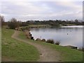
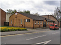
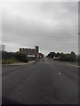
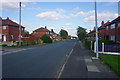
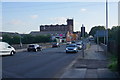
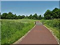
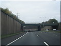
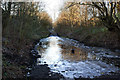
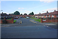
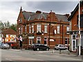
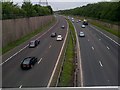
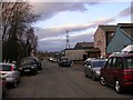
14 photos from this area
Area Information
Key information about the BL4 9LX including its size, population, and administrative classification.
- Area Type
- Postcode
- Area Size
- 6893 m²
- Population
- Not available
- Population Density
- Not available
House Prices in BL4 9LX
20
Properties
£86,734
Average Sold Price
£26,300
Lowest Price
£177,500
Highest Price
Showing 20 properties
| Address | Type | Beds | Baths | Last Sale Price | Last Sale Date | |
|---|---|---|---|---|---|---|
| 76 Worsley Road, Farnworth, Bolton, BL4 9LX | Terraced | 3 | 1 | £177,500 | Sep 2025 | |
| 96 Worsley Road, Farnworth, Bolton, BL4 9LX | Terraced | 3 | 1 | £160,000 | Sep 2024 | |
| 78 Worsley Road, Farnworth, Bolton, BL4 9LX | house | - | - | £130,000 | Jul 2022 | |
| 132 Worsley Road, Farnworth, Bolton, BL4 9LX | Terraced | 3 | 1 | £90,000 | Jan 2019 | |
| 94 Worsley Road, Farnworth, Bolton, BL4 9LX | Terraced | 3 | 1 | £98,500 | Nov 2016 | |
| 100 Worsley Road, Farnworth, Bolton, BL4 9LX | Terraced | 2 | - | £95,000 | Jan 2016 | |
| 138 Worsley Road, Farnworth, Bolton, BL4 9LX | Terraced | - | - | £60,000 | Nov 2007 | |
| 84 Worsley Road, Farnworth, Bolton, BL4 9LX | Terraced | 2 | 1 | £110,000 | Nov 2007 | |
| 102 Worsley Road, Farnworth, Bolton, BL4 9LX | house | 2 | 1 | £99,950 | Nov 2007 | |
| 130 Worsley Road, Farnworth, Bolton, BL4 9LX | house | - | - | £92,500 | Nov 2006 |
Page 1 of 2
Energy Efficiency in BL4 9LX
Amenities
Schools
| Rank | School | Type | Entry gender | Ages |
|---|
Explore more schools in this area
Go to Schools tabDemographics
Household Size
Family (3-5 people)
most common
Accommodation Type
Houses
most common
Tenure
37
majority
Ethnic Group
White
most common
Religion
N/A
most common
Household Composition
N/A
most common
Age
47
median
Adults (30-64 years)
most common
Household Deprivation
N/A
with no deprivation
NS-SEC
14
in Lower managerial occupations
Explore more demographic insights in this area
Go to Demographics tabPlanning
Planning Constraints
- Flood RiskPremium
- Ramsar Wetland SitesPremium
- Area of Outstanding Natural BeautyPremium
- Protected Nature ReservePremium
- Protected WoodlandPremium