Area Overview for BL3 2GB
Photos of BL3 2GB
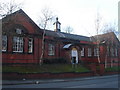
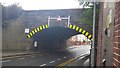
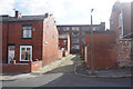
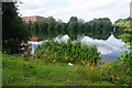
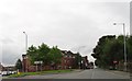
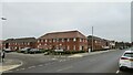
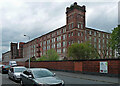
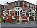
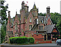
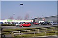
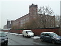
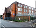
37 photos from this area
Area Information
Key information about the BL3 2GB including its size, population, and administrative classification.
- Area Type
- Postcode
- Area Size
- 6050 m²
- Population
- Not available
- Population Density
- Not available
House Prices in BL3 2GB
21
Properties
£10,456
Average Sold Price
£10,456
Lowest Price
£10,456
Highest Price
Showing 21 properties
| Address | Type | Beds | Baths | Last Sale Price | Last Sale Date | |
|---|---|---|---|---|---|---|
| 221 Crescent Road, Bolton, BL3 2GB | house | - | - | £10,456 | Nov 2021 | |
| 197 Crescent Road, Bolton, BL3 2GB | Terraced | 3 | 1 | - | - | |
| 193 Crescent Road, Bolton, BL3 2GB | house | - | - | - | - | |
| 203 Crescent Road, Bolton, BL3 2GB | house | - | - | - | - | |
| 211 Crescent Road, Bolton, BL3 2GB | house | - | - | - | - | |
| 215 Crescent Road, Bolton, BL3 2GB | house | - | - | - | - | |
| 209 Crescent Road, Bolton, BL3 2GB | house | - | - | - | - | |
| 205 Crescent Road, Bolton, BL3 2GB | house | - | - | - | - | |
| 223 Crescent Road, Bolton, BL3 2GB | house | - | - | - | - | |
| 219 Crescent Road, Bolton, BL3 2GB | house | - | - | - | - |
Page 1 of 3
Energy Efficiency in BL3 2GB
Amenities
Schools
| Rank | School | Type | Entry gender | Ages |
|---|
Explore more schools in this area
Go to Schools tabDemographics
Household Size
Family (3-5 people)
most common
Accommodation Type
Houses
most common
Tenure
42
majority
Ethnic Group
asian_total
most common
Religion
N/A
most common
Household Composition
N/A
most common
Age
22
median
Adults (30-64 years)
most common
Household Deprivation
N/A
with no deprivation
NS-SEC
13
in Lower managerial occupations
Explore more demographic insights in this area
Go to Demographics tabPlanning
Planning Constraints
- Flood RiskPremium
- Ramsar Wetland SitesPremium
- Area of Outstanding Natural BeautyPremium
- Protected Nature ReservePremium
- Protected WoodlandPremium