Area Overview for BL3 1RU
Photos of BL3 1RU
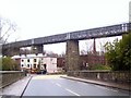
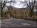
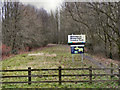
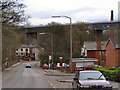
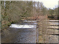
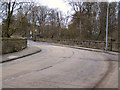
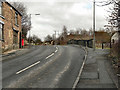
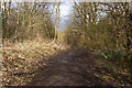
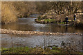
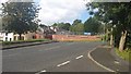
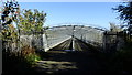
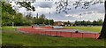
36 photos from this area
Area Information
Key information about the BL3 1RU including its size, population, and administrative classification.
- Area Type
- Postcode
- Area Size
- 1.4 hectares
- Population
- 2298
- Population Density
- 1322 people/km²
House Prices in BL3 1RU
23
Properties
£122,550
Average Sold Price
£72,500
Lowest Price
£250,000
Highest Price
Showing 23 properties
| Address | Type | Beds | Baths | Last Sale Price | Last Sale Date | |
|---|---|---|---|---|---|---|
| 319 Radcliffe Road, Bolton, BL3 1RU | Terraced | 2 | 1 | £132,500 | Feb 2024 | |
| 327A Radcliffe Road, Bolton, BL3 1RU | Retail | 2 | 1 | £168,000 | Nov 2022 | |
| 367-369 Radcliffe Road, Bolton, BL3 1RU | house | 2 | 1 | £140,000 | Jul 2021 | |
| 303 Radcliffe Road, Bolton, BL3 1RU | Detached | 3 | 1 | £250,000 | Mar 2021 | |
| 323 Radcliffe Road, Bolton, BL3 1RU | Terraced | 2 | 1 | £94,000 | Apr 2019 | |
| 337 Radcliffe Road, Bolton, BL3 1RU | Terraced | 2 | - | £72,500 | Jul 2017 | |
| 321 Radcliffe Road, Bolton, BL3 1RU | Terraced | 2 | 1 | £79,000 | Sep 2016 | |
| 341 Radcliffe Road, Bolton, BL3 1RU | house | - | - | £115,500 | Jun 2009 | |
| 317 Radcliffe Road, Bolton, BL3 1RU | house | - | - | £93,000 | Mar 2008 | |
| 329 Radcliffe Road, Bolton, BL3 1RU | Semi-detached | 2 | 1 | £81,000 | Jan 2005 |
Page 1 of 3
Energy Efficiency in BL3 1RU
Amenities
Schools
| Rank | School | Type | Entry gender | Ages |
|---|
Explore more schools in this area
Go to Schools tabDemographics
Household Size
Two person
most common
Accommodation Type
Houses
most common
Tenure
66
majority
Ethnic Group
White
most common
Religion
N/A
most common
Household Composition
N/A
most common
Age
47
median
Adults (30-64 years)
most common
Household Deprivation
N/A
with no deprivation
NS-SEC
29
in Lower managerial occupations
Explore more demographic insights in this area
Go to Demographics tabPlanning
Planning Constraints
- Flood RiskPremium
- Ramsar Wetland SitesPremium
- Area of Outstanding Natural BeautyPremium
- Protected Nature ReservePremium
- Protected WoodlandPremium