Area Overview for BL3 1NA
Photos of BL3 1NA
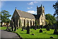
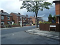
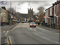
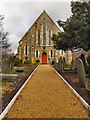
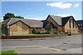
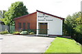
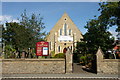
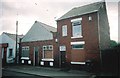

33 photos from this area
Area Information
Key information about the BL3 1NA including its size, population, and administrative classification.
- Area Type
- Postcode
- Area Size
- 4081 m²
- Population
- 1467
- Population Density
- 3398 people/km²
House Prices in BL3 1NA
17
Properties
£82,169
Average Sold Price
£30,000
Lowest Price
£112,500
Highest Price
Showing 17 properties
| Address | Type | Beds | Baths | Last Sale Price | Last Sale Date | |
|---|---|---|---|---|---|---|
| 67 High Street, Little Lever, Bolton, BL3 1NA | Flat | 2 | 1 | £109,000 | Nov 2025 | |
| 59 High Street, Little Lever, Bolton, BL3 1NA | Flat | - | - | £100,000 | Oct 2025 | |
| 65 High Street, Little Lever, Bolton, BL3 1NA | Flat | - | - | £103,000 | Sep 2024 | |
| 51 High Street, Little Lever, Bolton, BL3 1NA | Flat | 2 | 1 | £112,500 | Jul 2024 | |
| 55 High Street, Little Lever, Bolton, BL3 1NA | Flat | 2 | 1 | £110,000 | Jan 2023 | |
| 63 High Street, Little Lever, Bolton, BL3 1NA | Flat | 2 | 1 | £92,000 | Dec 2022 | |
| 71 High Street, Little Lever, Bolton, BL3 1NA | Flat | - | - | £77,500 | Aug 2022 | |
| 49 High Street, Little Lever, Bolton, BL3 1NA | Flat | - | - | £82,000 | Jun 2021 | |
| 53 High Street, Little Lever, Bolton, BL3 1NA | Flat | - | - | £74,950 | Oct 2020 | |
| 77 High Street, Little Lever, Bolton, BL3 1NA | Terraced | - | - | £55,000 | Jan 2011 |
Page 1 of 2
Energy Efficiency in BL3 1NA
Amenities
Schools
| Rank | School | Type | Entry gender | Ages |
|---|
Explore more schools in this area
Go to Schools tabDemographics
Household Size
One person
most common
Accommodation Type
Houses
most common
Tenure
58
majority
Ethnic Group
White
most common
Religion
N/A
most common
Household Composition
N/A
most common
Age
47
median
Adults (30-64 years)
most common
Household Deprivation
N/A
with no deprivation
NS-SEC
22
in Lower managerial occupations
Explore more demographic insights in this area
Go to Demographics tabPlanning
Planning Constraints
- Flood RiskPremium
- Ramsar Wetland SitesPremium
- Area of Outstanding Natural BeautyPremium
- Protected Nature ReservePremium
- Protected WoodlandPremium