Area Overview for BL2 6BL
Photos of BL2 6BL
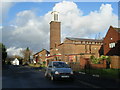
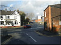
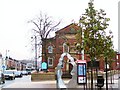
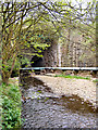
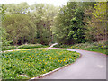
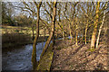
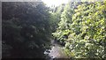
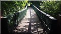
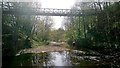
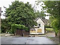
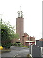
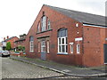
29 photos from this area
Area Information
Key information about the BL2 6BL including its size, population, and administrative classification.
- Area Type
- Postcode
- Area Size
- 9495 m²
- Population
- 1482
- Population Density
- 2802 people/km²
House Prices in BL2 6BL
10
Properties
£92,300
Average Sold Price
£62,000
Lowest Price
£125,000
Highest Price
Showing 10 properties
| Address | Type | Beds | Baths | Last Sale Price | Last Sale Date | |
|---|---|---|---|---|---|---|
| 7 Clegg Street, Bolton, BL2 6BL | Terraced | 2 | 1 | £120,000 | Aug 2025 | |
| 5 Clegg Street, Bolton, BL2 6BL | Terraced | 3 | 1 | £80,500 | May 2023 | |
| 1 Clegg Street, Bolton, BL2 6BL | Terraced | 2 | 1 | £125,000 | May 2022 | |
| 11 Clegg Street, Bolton, BL2 6BL | house | - | - | £62,000 | Jan 2020 | |
| 3 Clegg Street, Bolton, BL2 6BL | Terraced | 2 | 1 | £74,000 | Nov 2006 | |
| 9 Clegg Street, Bolton, BL2 6BL | house | 2 | 1 | - | - | |
| Century Properties Limited, Unit D, Tonge Fold Mill, Clegg Street, Bolton, BL2 6BL | Office | - | - | - | - | |
| Century Properties Ltd, Unit A, Tonge Fold Mill, Clegg Street, Bolton, BL2 6BL | storage_distribution | - | - | - | - | |
| Century Properties Ltd, Unit C, Tonge Fold Mill, Clegg Street, Bolton, BL2 6BL | office_workshop | - | - | - | - | |
| Unit B, Tonge Fold Mill, Clegg Street, Bolton, BL2 6BL | storage_distribution | - | - | - | - |
Energy Efficiency in BL2 6BL
Amenities
Schools
| Rank | School | Type | Entry gender | Ages |
|---|
Explore more schools in this area
Go to Schools tabDemographics
Household Size
One person
most common
Accommodation Type
Houses
most common
Tenure
56
majority
Ethnic Group
White
most common
Religion
N/A
most common
Household Composition
N/A
most common
Age
47
median
Adults (30-64 years)
most common
Household Deprivation
N/A
with no deprivation
NS-SEC
21
in Lower managerial occupations
Explore more demographic insights in this area
Go to Demographics tabPlanning
Planning Constraints
- Flood RiskPremium
- Ramsar Wetland SitesPremium
- Area of Outstanding Natural BeautyPremium
- Protected Nature ReservePremium
- Protected WoodlandPremium