Area Overview for BL2 5LU
Photos of BL2 5LU
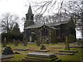
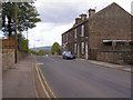
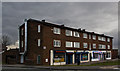
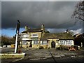
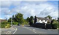
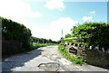
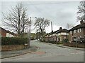
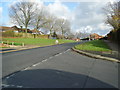
43 photos from this area
Area Information
Key information about the BL2 5LU including its size, population, and administrative classification.
- Area Type
- Postcode
- Area Size
- 1.0 hectares
- Population
- 1504
- Population Density
- 3677 people/km²
House Prices in BL2 5LU
28
Properties
£109,526
Average Sold Price
£45,500
Lowest Price
£185,000
Highest Price
Showing 28 properties
| Address | Type | Beds | Baths | Last Sale Price | Last Sale Date | |
|---|---|---|---|---|---|---|
| 71 Burnmoor Road, Bolton, BL2 5LU | Semi-detached | 2 | 1 | £147,500 | Mar 2025 | |
| 67A Burnmoor Road, Bolton, BL2 5LU | Semi-detached | 2 | 1 | £160,000 | Feb 2024 | |
| 79 Burnmoor Road, Bolton, BL2 5LU | Bungalow | 3 | 1 | £185,000 | Aug 2023 | |
| 65A Burnmoor Road, Bolton, BL2 5LU | Semi-detached | 2 | 1 | £154,000 | Jun 2023 | |
| 80 Burnmoor Road, Bolton, BL2 5LU | Semi-detached | 3 | 1 | £160,000 | Apr 2023 | |
| 69A Burnmoor Road, Bolton, BL2 5LU | Semi-detached | 2 | 1 | £120,000 | Feb 2019 | |
| 77 Burnmoor Road, Bolton, BL2 5LU | Bungalow | 2 | 1 | £84,000 | Sep 2016 | |
| 73 Burnmoor Road, Bolton, BL2 5LU | Detached | 3 | 1 | £107,500 | Aug 2016 | |
| 91 Burnmoor Road, Bolton, BL2 5LU | Bungalow | - | - | £103,000 | May 2013 | |
| 90 Burnmoor Road, Bolton, BL2 5LU | Bungalow | - | - | £72,000 | Mar 2013 |
Page 1 of 3
Energy Efficiency in BL2 5LU
Amenities
Schools
| Rank | School | Type | Entry gender | Ages |
|---|
Explore more schools in this area
Go to Schools tabDemographics
Household Size
One person
most common
Accommodation Type
Houses
most common
Tenure
53
majority
Ethnic Group
White
most common
Religion
N/A
most common
Household Composition
N/A
most common
Age
47
median
Adults (30-64 years)
most common
Household Deprivation
N/A
with no deprivation
NS-SEC
20
in Lower managerial occupations
Explore more demographic insights in this area
Go to Demographics tabPlanning
Planning Constraints
- Flood RiskPremium
- Ramsar Wetland SitesPremium
- Area of Outstanding Natural BeautyPremium
- Protected Nature ReservePremium
- Protected WoodlandPremium