Area Overview for BL2 5EB
Photos of BL2 5EB
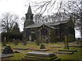
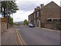
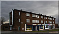
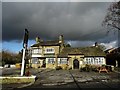
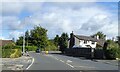
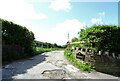
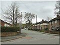
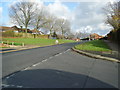
43 photos from this area
Area Information
Key information about the BL2 5EB including its size, population, and administrative classification.
- Area Type
- Postcode
- Area Size
- 8019 m²
- Population
- 1747
- Population Density
- 5657 people/km²
House Prices in BL2 5EB
18
Properties
£142,556
Average Sold Price
£35,000
Lowest Price
£275,000
Highest Price
Showing 18 properties
| Address | Type | Beds | Baths | Last Sale Price | Last Sale Date | |
|---|---|---|---|---|---|---|
| 156 Withins Lane, Bolton, BL2 5EB | Semi-detached | 3 | 1 | £188,000 | Jan 2025 | |
| 154 Withins Lane, Bolton, BL2 5EB | Semi-detached | 3 | 1 | £230,000 | Oct 2024 | |
| 169 Withins Lane, Bolton, BL2 5EB | Semi-detached | 4 | 1 | £250,000 | Feb 2023 | |
| 162 Withins Lane, Bolton, BL2 5EB | Semi-detached | 3 | 1 | £275,000 | Feb 2023 | |
| 158 Withins Lane, Bolton, BL2 5EB | Semi-detached | 3 | 1 | £159,000 | Jan 2022 | |
| 173 Withins Lane, Bolton, BL2 5EB | house | - | - | £178,000 | Nov 2021 | |
| 155 Withins Lane, Bolton, BL2 5EB | house | - | - | £105,000 | Jul 2019 | |
| 175 Withins Lane, Bolton, BL2 5EB | Semi-detached | 1 | 2 | £116,000 | Nov 2018 | |
| 167 Withins Lane, Bolton, BL2 5EB | Semi-detached | 4 | 1 | £141,500 | Nov 2016 | |
| 177 Withins Lane, Bolton, BL2 5EB | Semi-detached | 3 | 1 | £120,000 | Nov 2015 |
Page 1 of 2
Energy Efficiency in BL2 5EB
Amenities
Schools
| Rank | School | Type | Entry gender | Ages |
|---|
Explore more schools in this area
Go to Schools tabDemographics
Household Size
Family (3-5 people)
most common
Accommodation Type
Houses
most common
Tenure
34
majority
Ethnic Group
White
most common
Religion
N/A
most common
Household Composition
N/A
most common
Age
47
median
Adults (30-64 years)
most common
Household Deprivation
N/A
with no deprivation
NS-SEC
15
in Lower managerial occupations
Explore more demographic insights in this area
Go to Demographics tabPlanning
Planning Constraints
- Flood RiskPremium
- Ramsar Wetland SitesPremium
- Area of Outstanding Natural BeautyPremium
- Protected Nature ReservePremium
- Protected WoodlandPremium