Area Overview for BL2 3NG
Photos of BL2 3NG
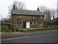
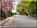
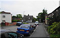
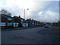
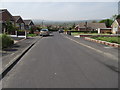
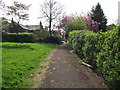
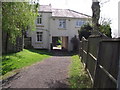
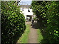
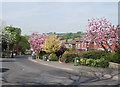
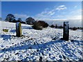
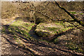
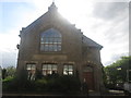
74 photos from this area
Area Information
Key information about the BL2 3NG including its size, population, and administrative classification.
- Area Type
- Postcode
- Area Size
- 8873 m²
- Population
- 1194
- Population Density
- 4950 people/km²
House Prices in BL2 3NG
23
Properties
£168,769
Average Sold Price
£45,000
Lowest Price
£305,000
Highest Price
Showing 23 properties
| Address | Type | Beds | Baths | Last Sale Price | Last Sale Date | |
|---|---|---|---|---|---|---|
| 16 Green Bank, Bolton, BL2 3NG | Semi-detached | 3 | 1 | £305,000 | May 2024 | |
| 19 Green Bank, Bolton, BL2 3NG | Detached | 3 | 1 | £201,000 | Apr 2022 | |
| 14 Green Bank, Bolton, BL2 3NG | Detached | 3 | 1 | £225,000 | Feb 2021 | |
| 1 Green Bank, Bolton, BL2 3NG | Detached | 2 | 2 | £207,500 | Sep 2020 | |
| 5 Green Bank, Bolton, BL2 3NG | Bungalow | 2 | - | £220,000 | Oct 2018 | |
| 17 Green Bank, Bolton, BL2 3NG | Detached | 2 | 2 | £192,000 | Oct 2017 | |
| 8 Green Bank, Bolton, BL2 3NG | Semi-detached | 4 | - | £207,000 | Mar 2017 | |
| 3 Green Bank, Bolton, BL2 3NG | Bungalow | 3 | 1 | £140,000 | Oct 2014 | |
| 20 Green Bank, Bolton, BL2 3NG | house | - | - | £168,000 | Nov 2013 | |
| 4 Green Bank, Bolton, BL2 3NG | house | - | - | £179,950 | Jul 2008 |
Page 1 of 3
Energy Efficiency in BL2 3NG
Amenities
Schools
| Rank | School | Type | Entry gender | Ages |
|---|
Explore more schools in this area
Go to Schools tabDemographics
Household Size
Two person
most common
Accommodation Type
Houses
most common
Tenure
94
majority
Ethnic Group
White
most common
Religion
N/A
most common
Household Composition
N/A
most common
Age
47
median
Adults (30-64 years)
most common
Household Deprivation
N/A
with no deprivation
NS-SEC
40
in Lower managerial occupations
Explore more demographic insights in this area
Go to Demographics tabPlanning
Planning Constraints
- Flood RiskPremium
- Ramsar Wetland SitesPremium
- Area of Outstanding Natural BeautyPremium
- Protected Nature ReservePremium
- Protected WoodlandPremium