Area Overview for BL1 6NU
Photos of BL1 6NU

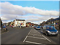
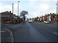
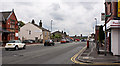
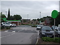
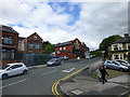
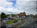
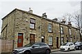
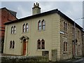
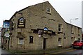
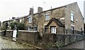
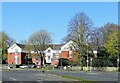
69 photos from this area
Area Information
Key information about the BL1 6NU including its size, population, and administrative classification.
- Area Type
- Postcode
- Area Size
- 2.0 hectares
- Population
- 1658
- Population Density
- 3217 people/km²
House Prices in BL1 6NU
18
Properties
£89,666
Average Sold Price
£10,500
Lowest Price
£157,000
Highest Price
Showing 18 properties
| Address | Type | Beds | Baths | Last Sale Price | Last Sale Date | |
|---|---|---|---|---|---|---|
| 60 Eden Street, Bolton, BL1 6NU | Terraced | 3 | 1 | £130,000 | Dec 2024 | |
| 88 Eden Street, Bolton, BL1 6NU | Cottage | 2 | 1 | £157,000 | Dec 2023 | |
| 90 Eden Street, Bolton, BL1 6NU | Terraced | 2 | 1 | £125,000 | Aug 2023 | |
| 72 Eden Street, Bolton, BL1 6NU | Terraced | 3 | 1 | £115,000 | Sep 2020 | |
| 58 Eden Street, Bolton, BL1 6NU | house | - | - | £90,000 | Jun 2012 | |
| 62 Eden Street, Bolton, BL1 6NU | house | - | - | £90,000 | Oct 2006 | |
| 94 Eden Street, Bolton, BL1 6NU | Flat | 1 | 1 | £102,000 | Oct 2006 | |
| 70 Eden Street, Bolton, BL1 6NU | Terraced | 3 | - | £60,000 | Aug 2005 | |
| 76 Eden Street, Bolton, BL1 6NU | Terraced | 3 | 1 | £87,500 | Nov 2004 | |
| 66 Eden Street, Bolton, BL1 6NU | Terraced | - | - | £71,995 | Apr 2004 |
Page 1 of 2
Energy Efficiency in BL1 6NU
Amenities
Schools
| Rank | School | Type | Entry gender | Ages |
|---|
Explore more schools in this area
Go to Schools tabDemographics
Household Size
One person
most common
Accommodation Type
Houses
most common
Tenure
55
majority
Ethnic Group
White
most common
Religion
N/A
most common
Household Composition
N/A
most common
Age
47
median
Adults (30-64 years)
most common
Household Deprivation
N/A
with no deprivation
NS-SEC
25
in Lower managerial occupations
Explore more demographic insights in this area
Go to Demographics tabPlanning
Planning Constraints
- Flood RiskPremium
- Ramsar Wetland SitesPremium
- Area of Outstanding Natural BeautyPremium
- Protected Nature ReservePremium
- Protected WoodlandPremium